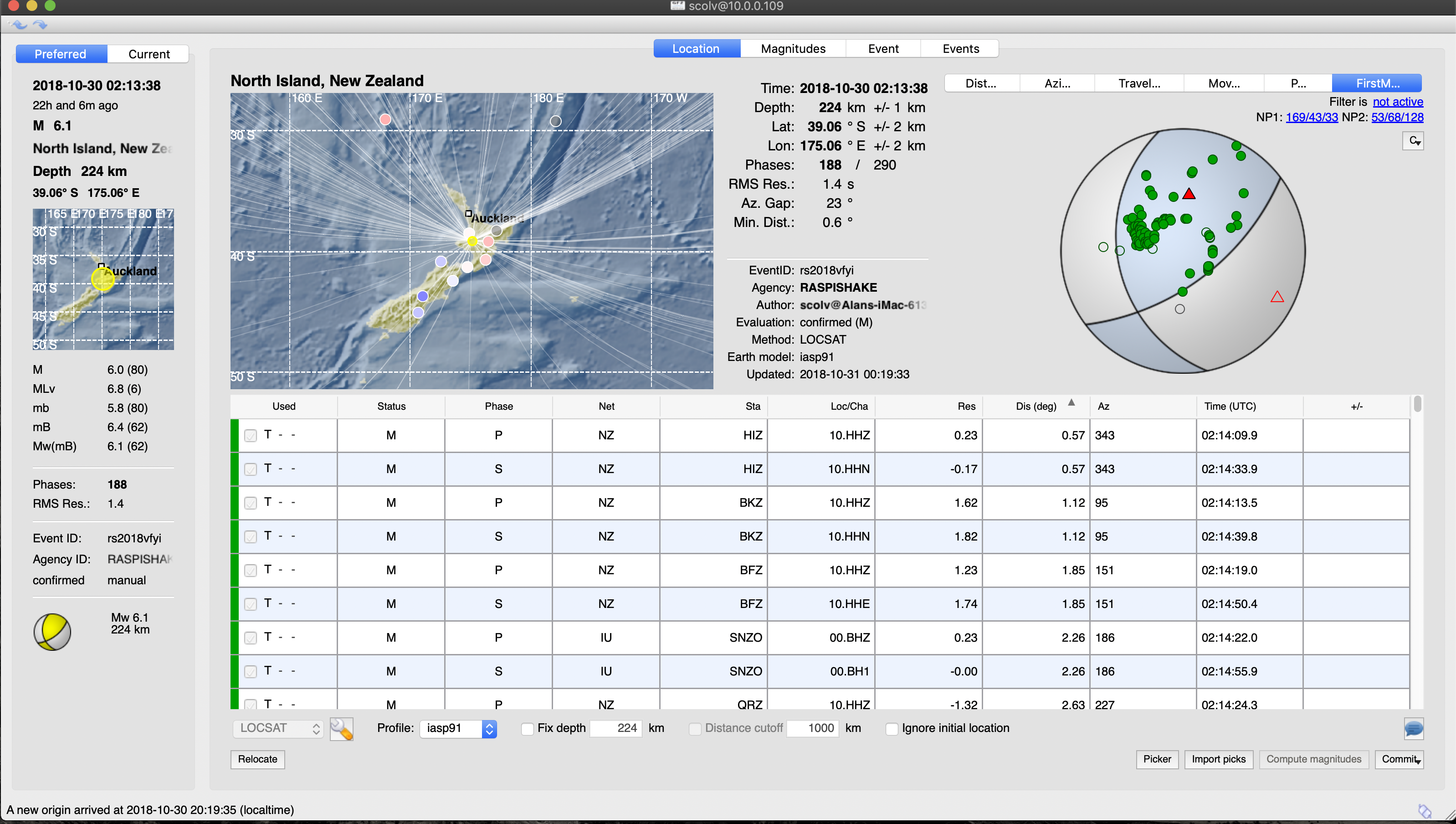
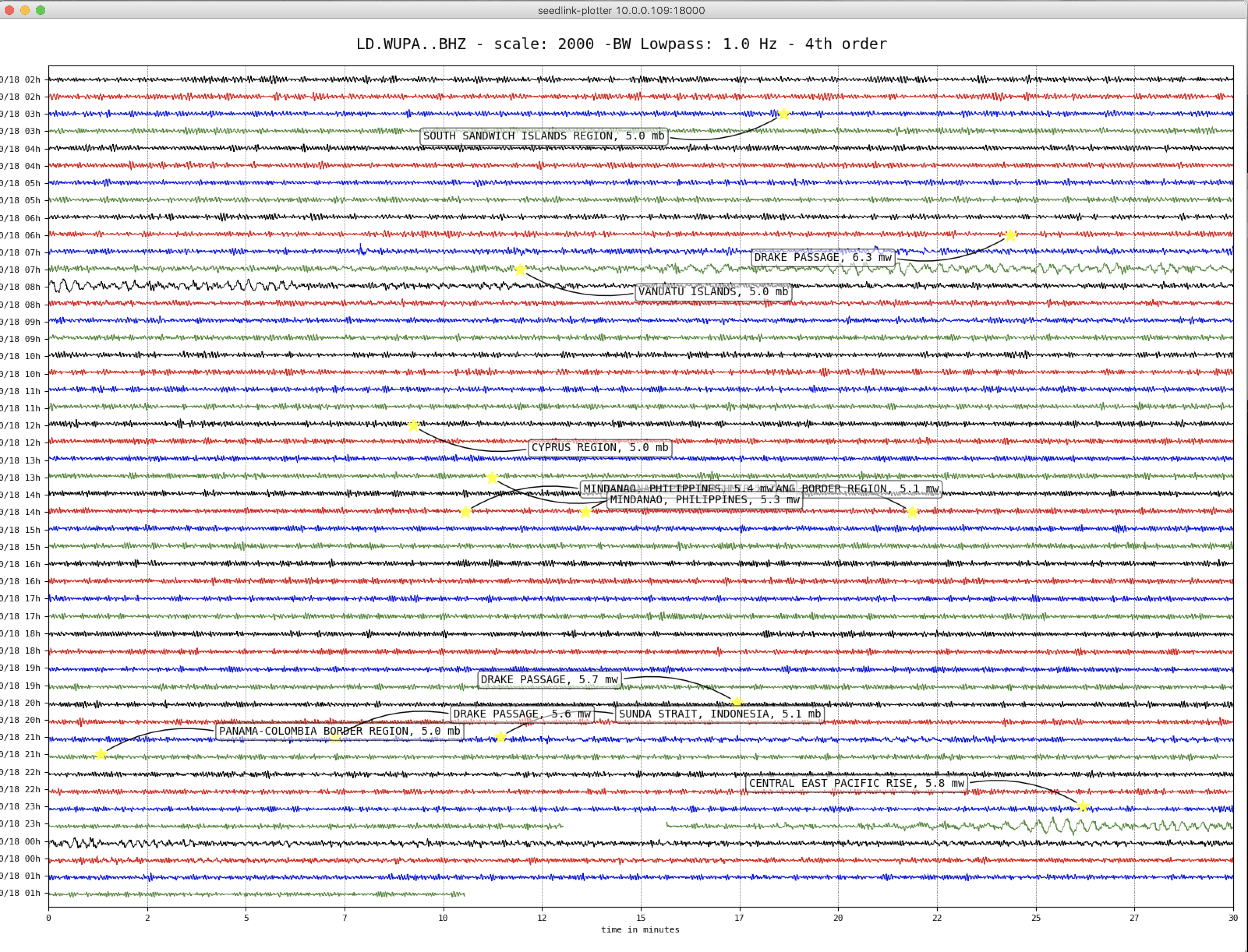
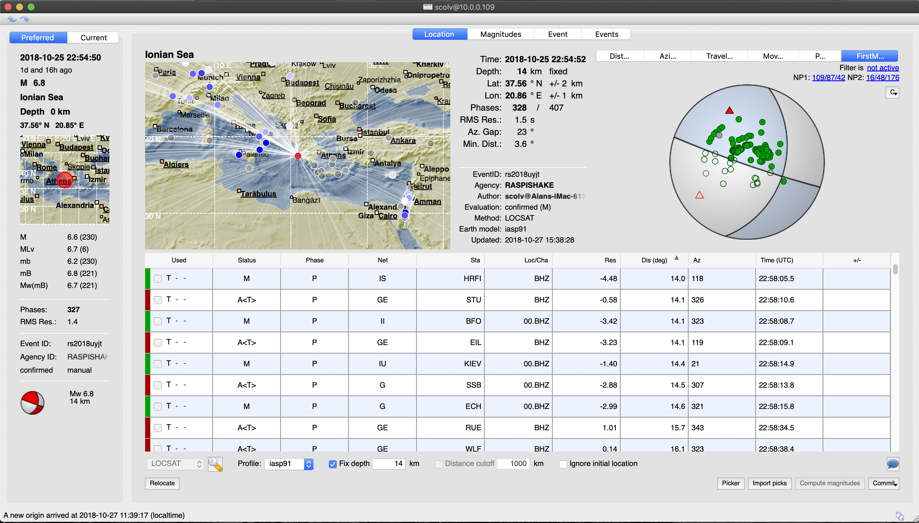
Chile – M6.2 – Nov 1, 2018 at 22:19:50 UTC
Position: 19.531°S 69.283°W – Depth: 91.0 km
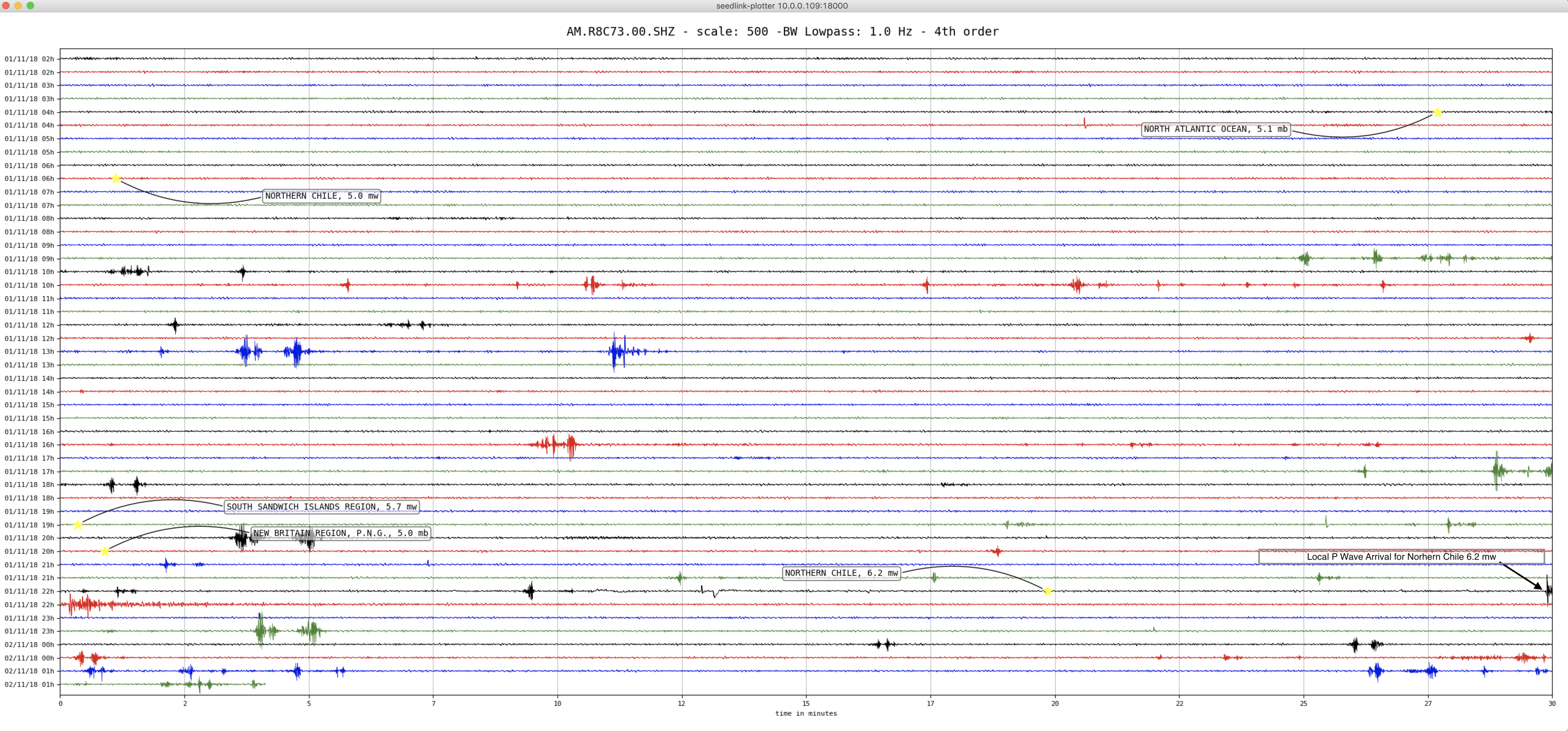
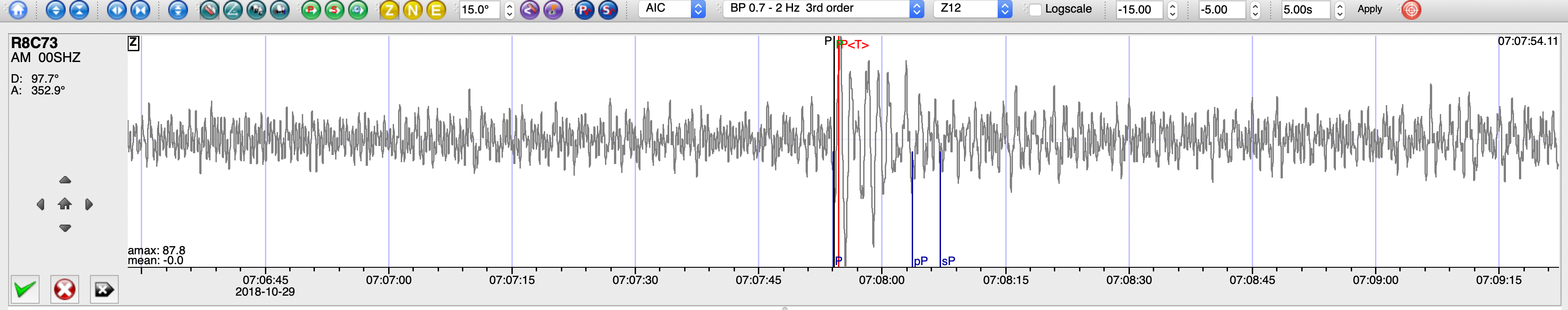
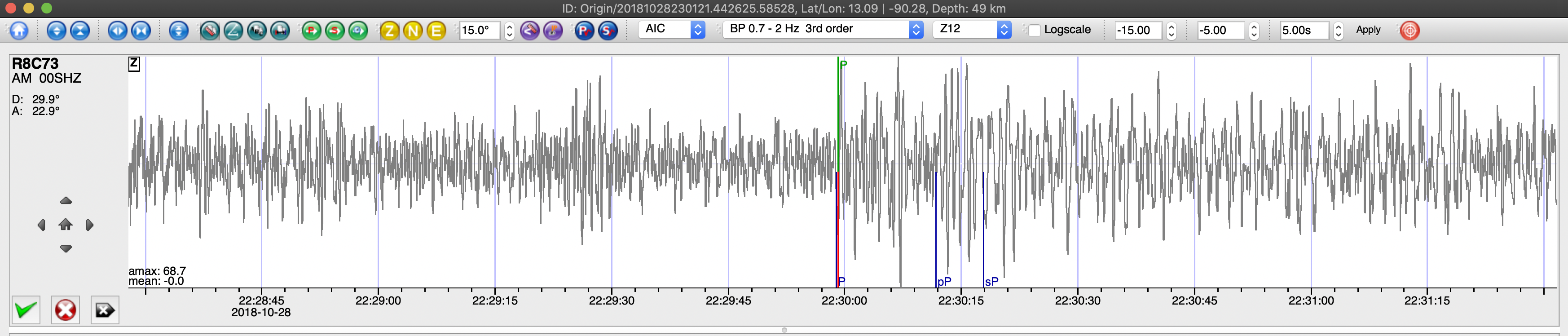
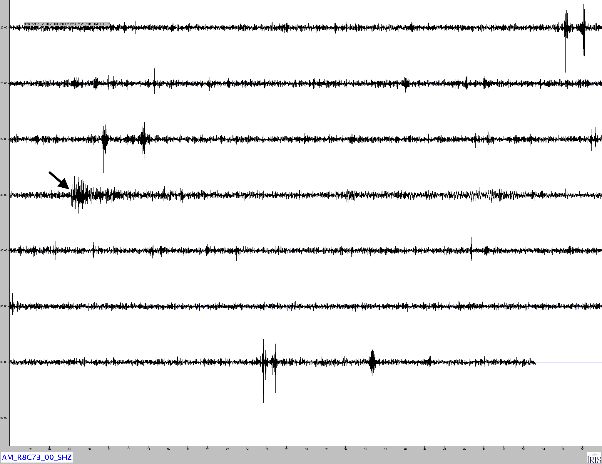
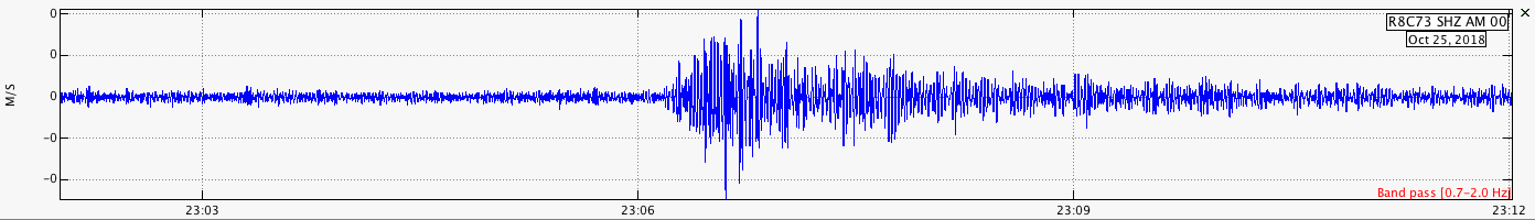
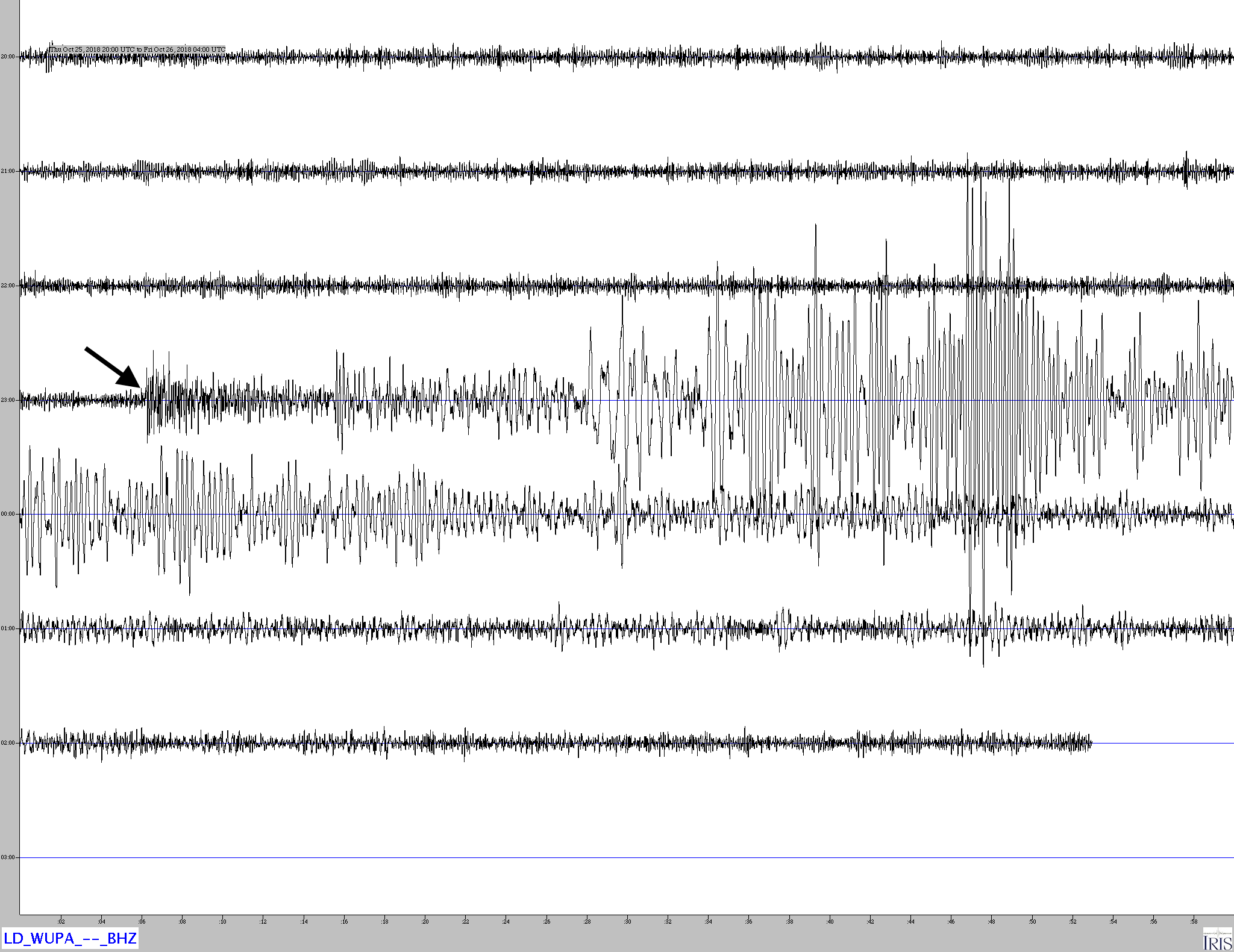
Heliocoder trace of AM.RC8C73.00.SHZ. The P wave arrival is in the lower right side of the image.
Distance: 59.7 Deg. 6,625 km
Azimuth: 354.4 Deg.
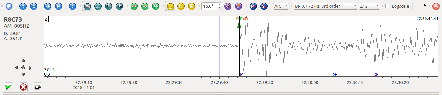
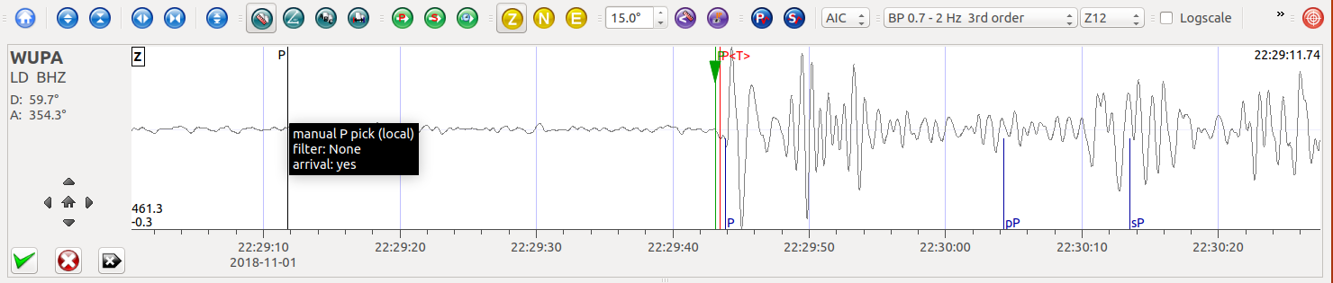
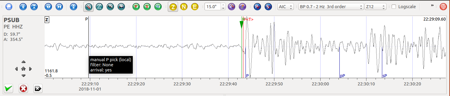
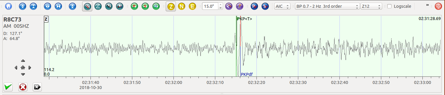
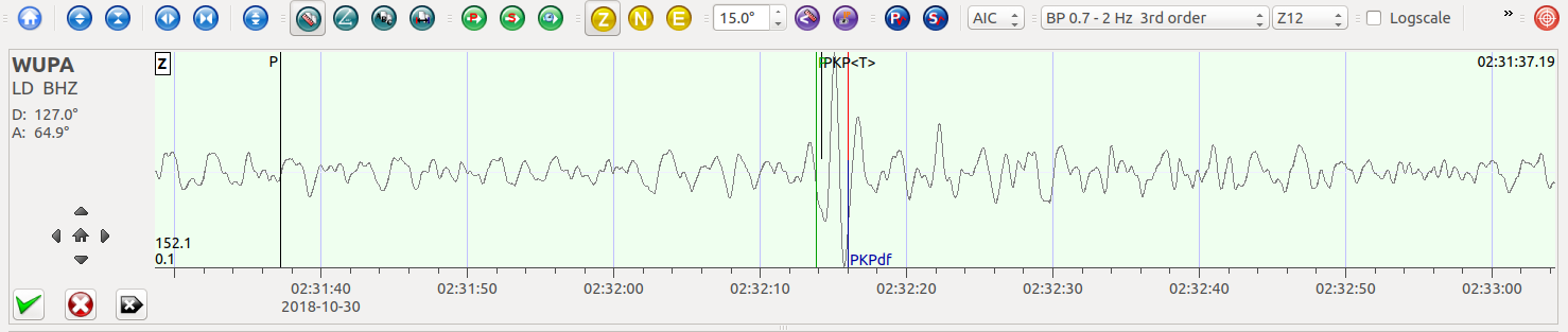
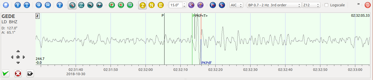
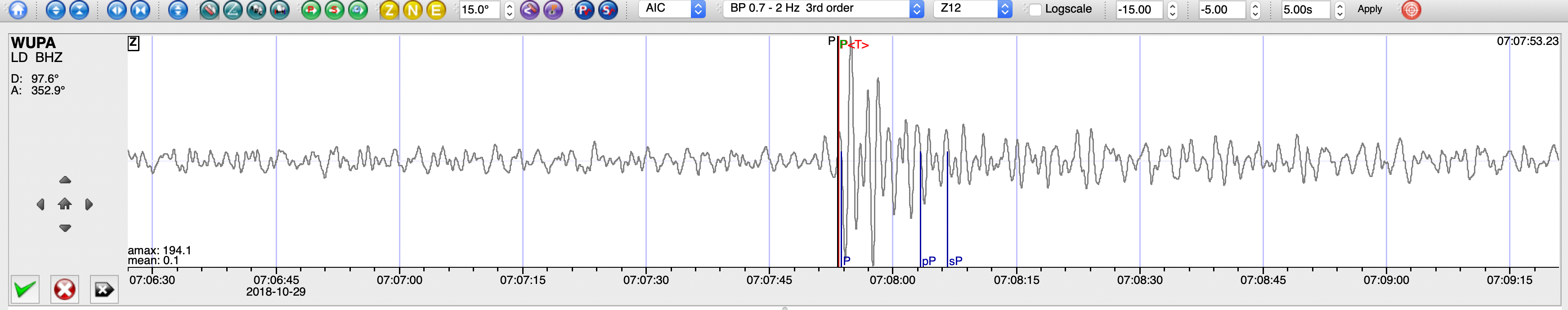
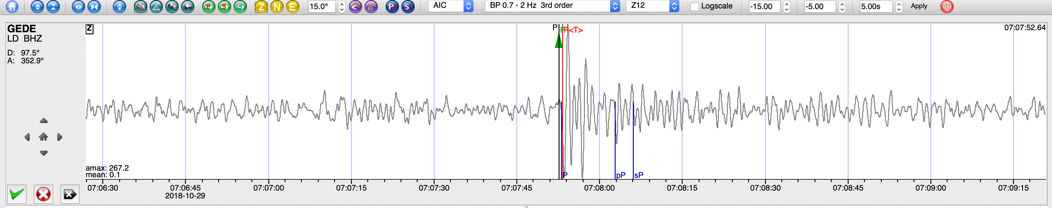
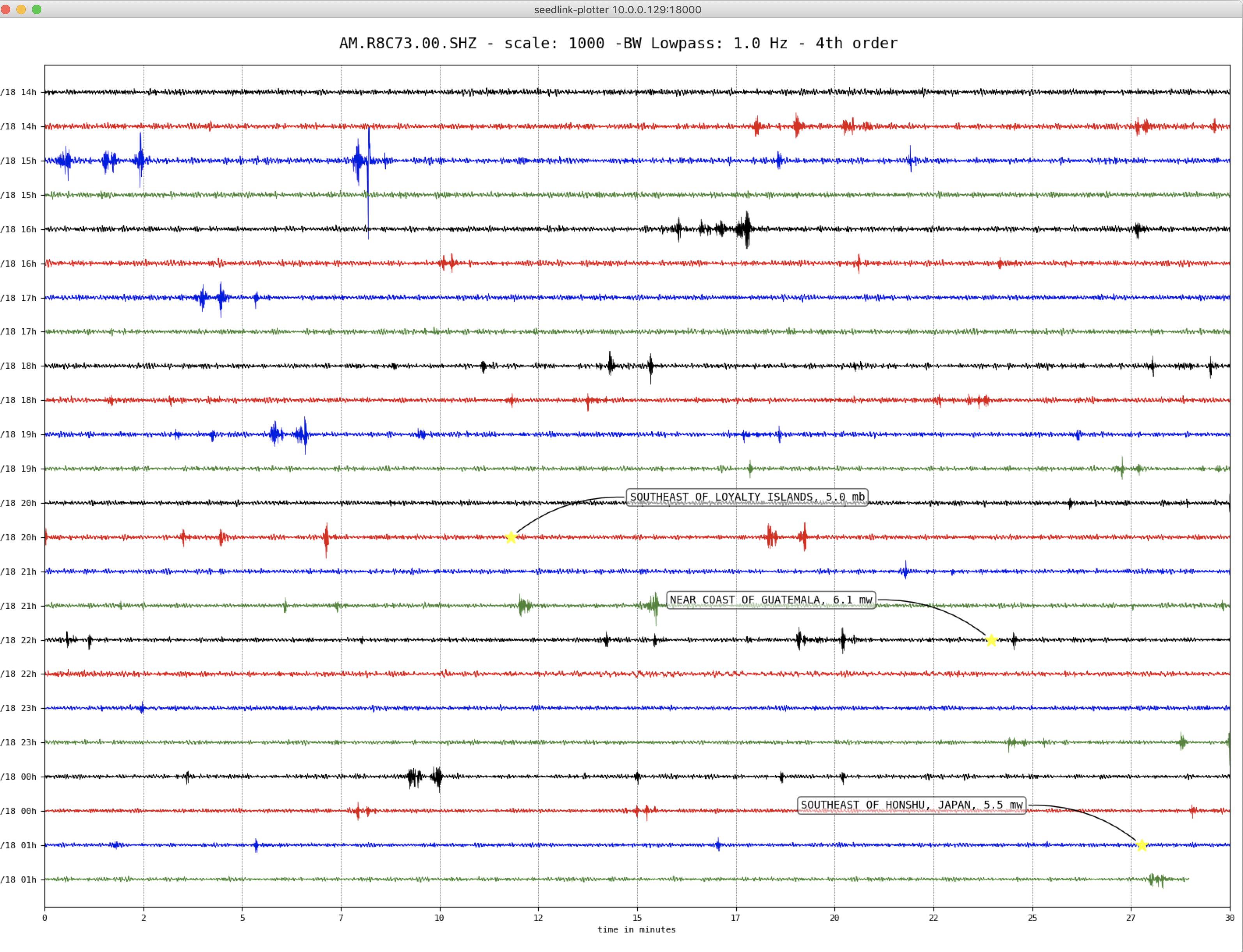
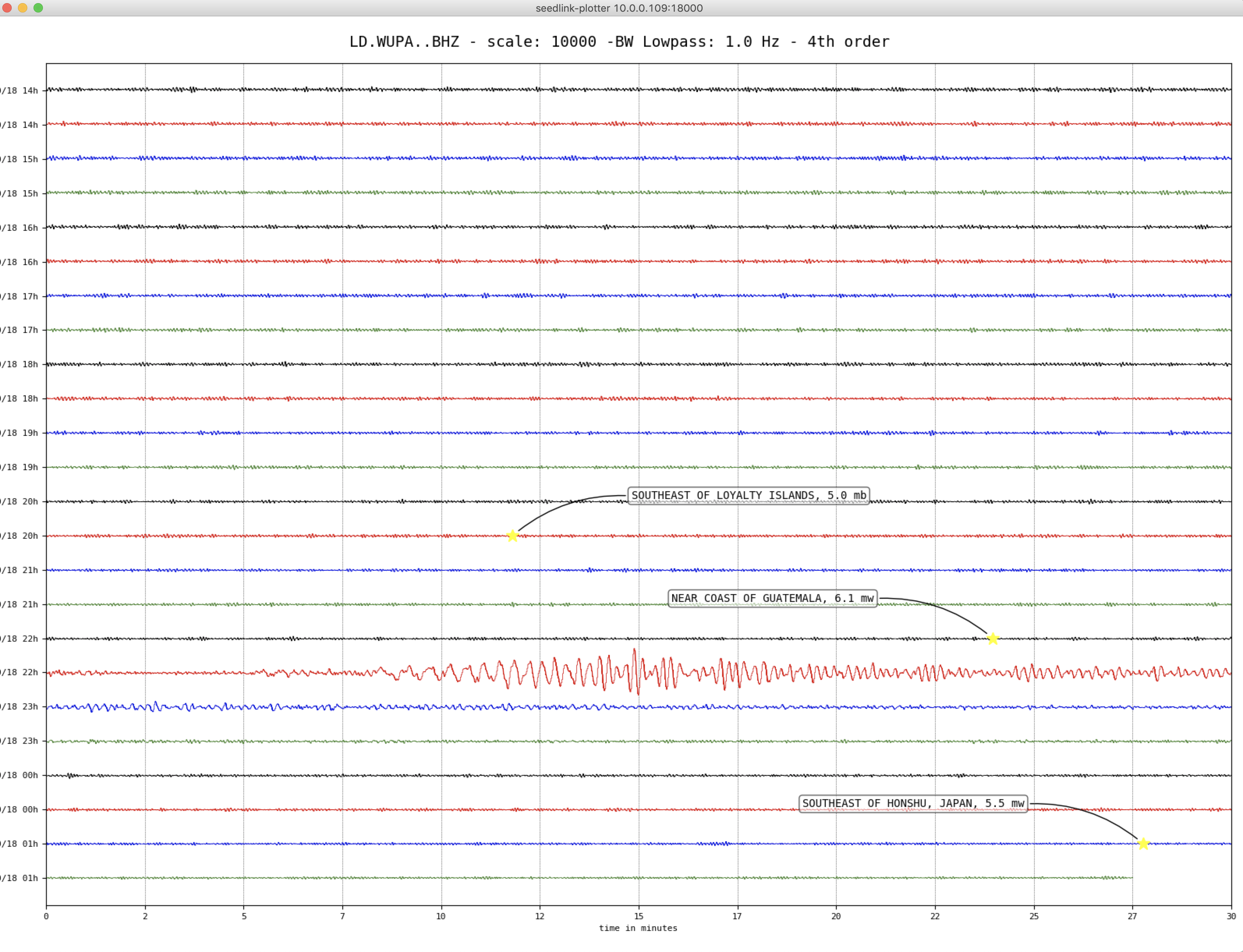
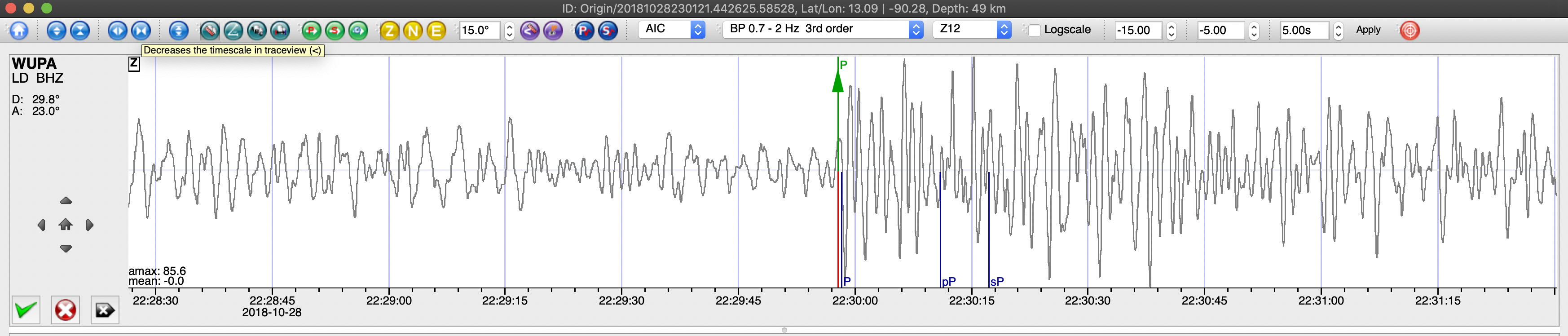
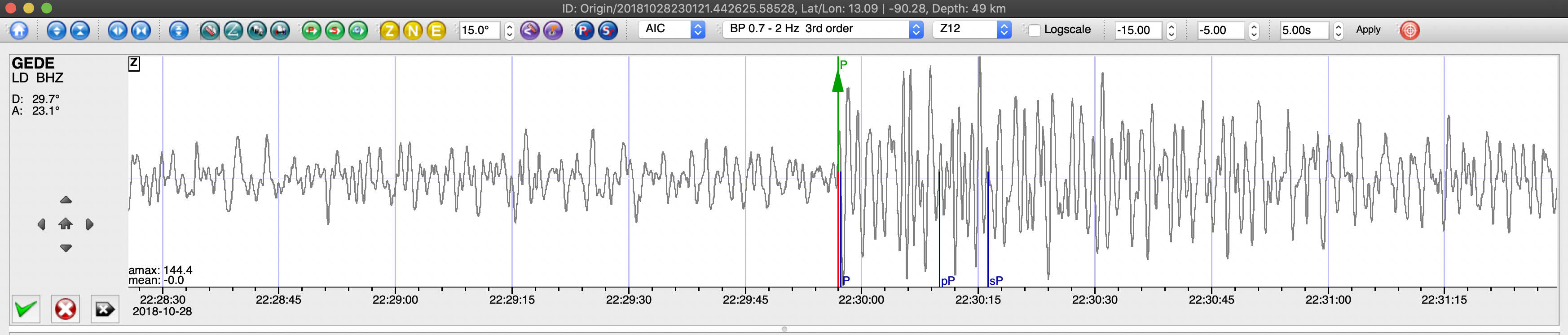
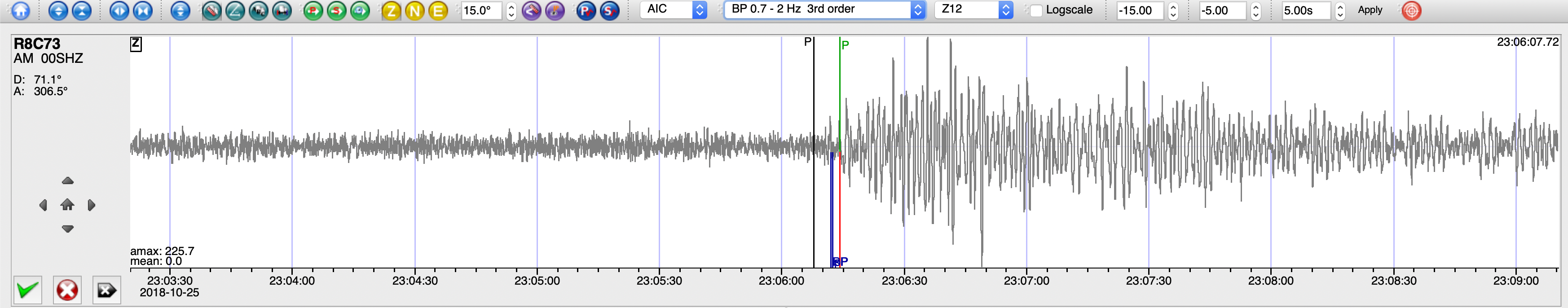
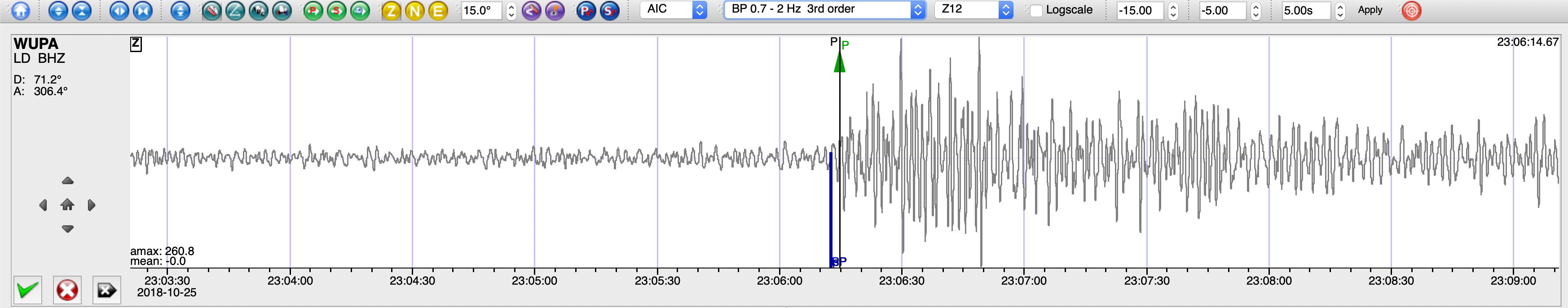
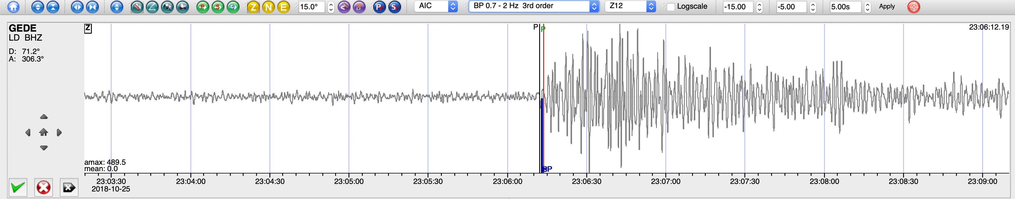
SeisComP3 traces for AM.R8C73.00.SHZ (Exton PA), LD.WUPA.BHZ (West Chester University, West Chester PA), and PE.PSUB.HHZ (Penn State Brandywine Campus, Media PA) showing the P wave arrivals.