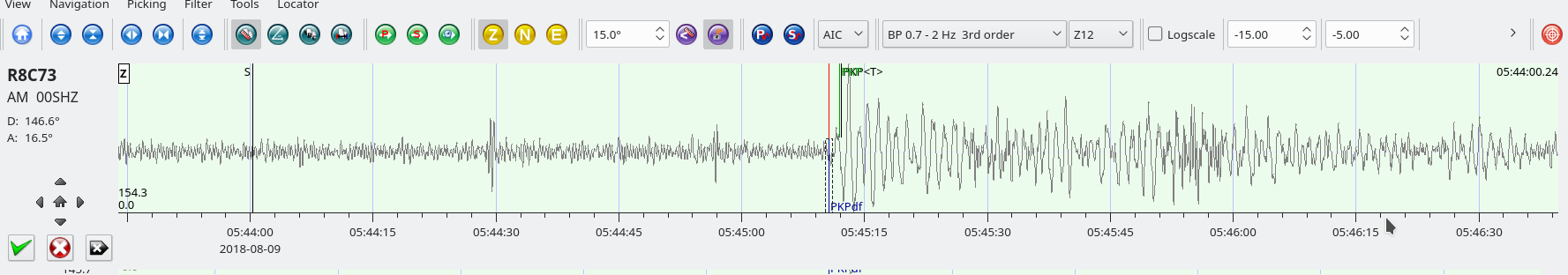
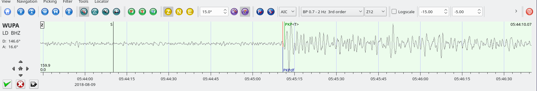
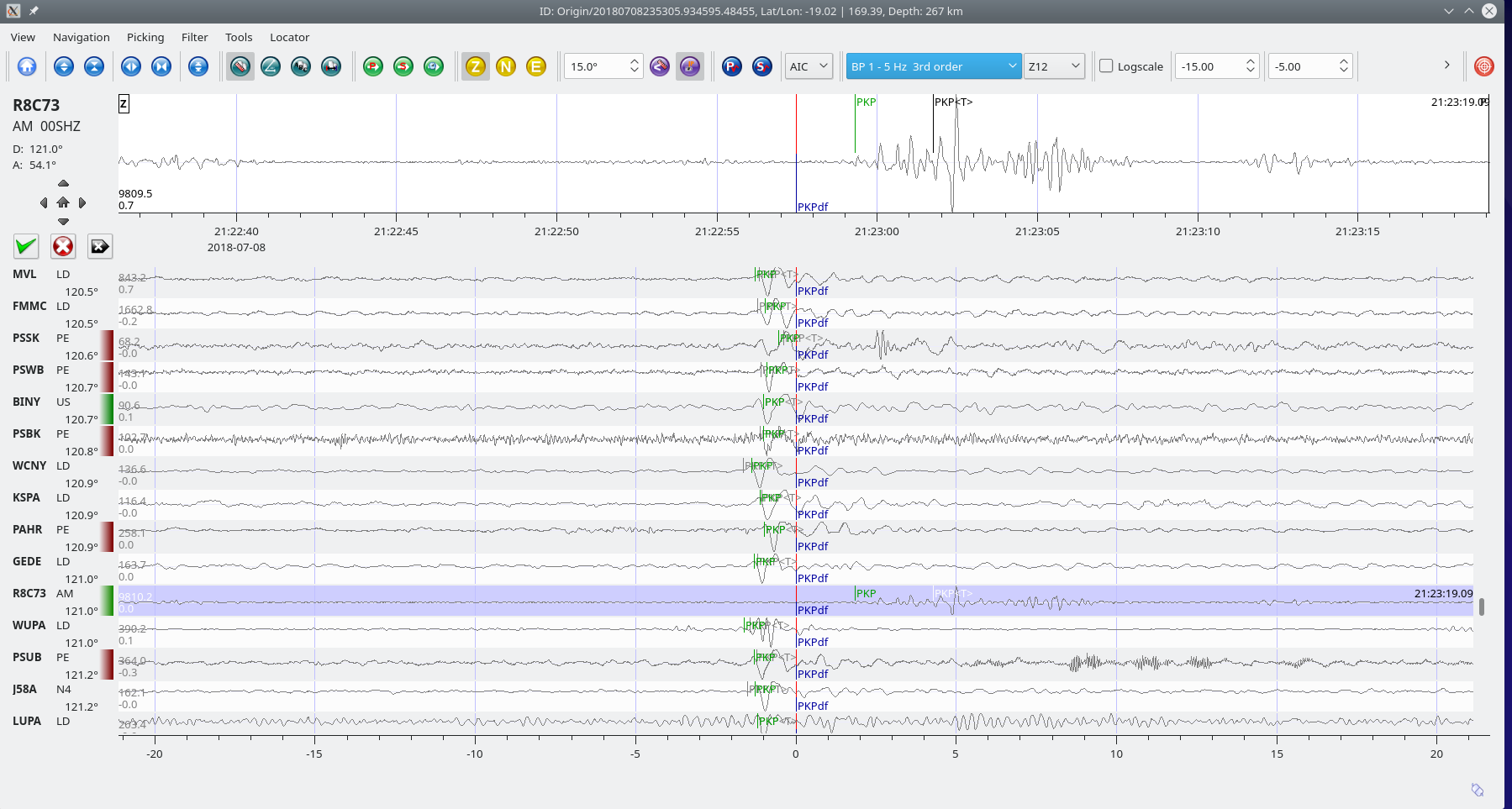
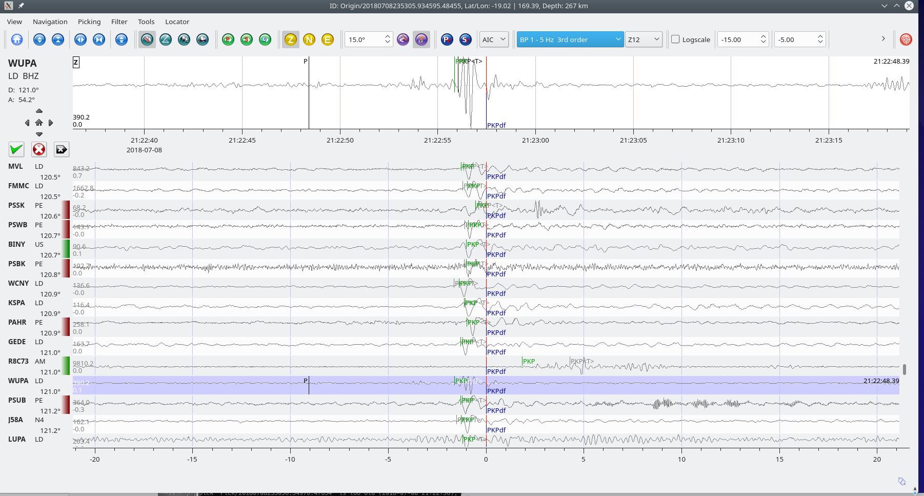
Columbia M5.3 – Aug 7, 2018 at 15:53:59 UTC

Position: 6.788°N   72.992°W – Depth: 148.8 km

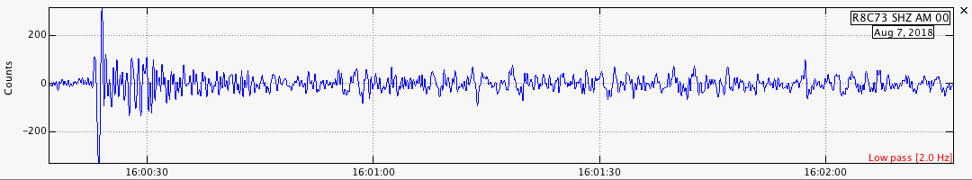
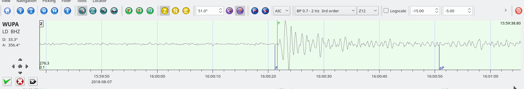
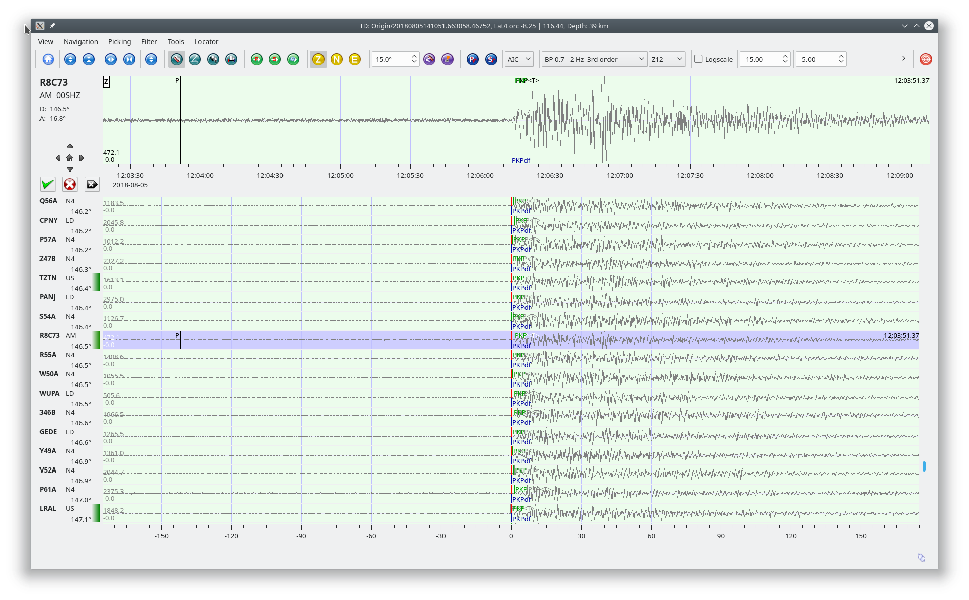
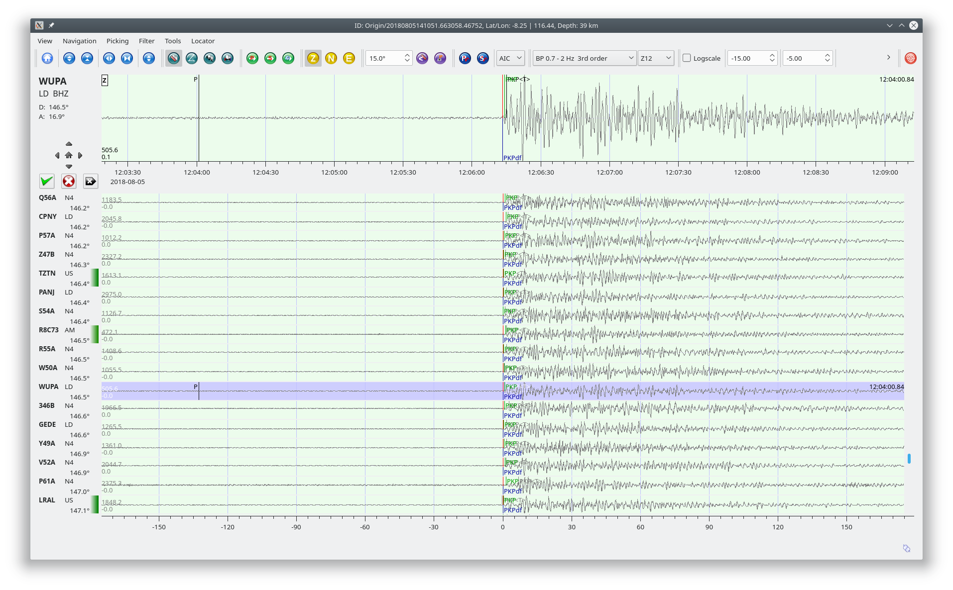
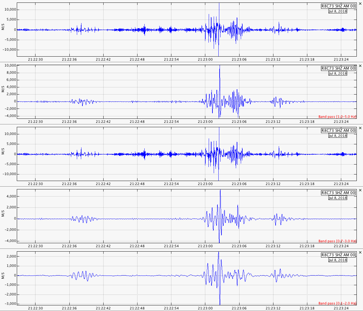
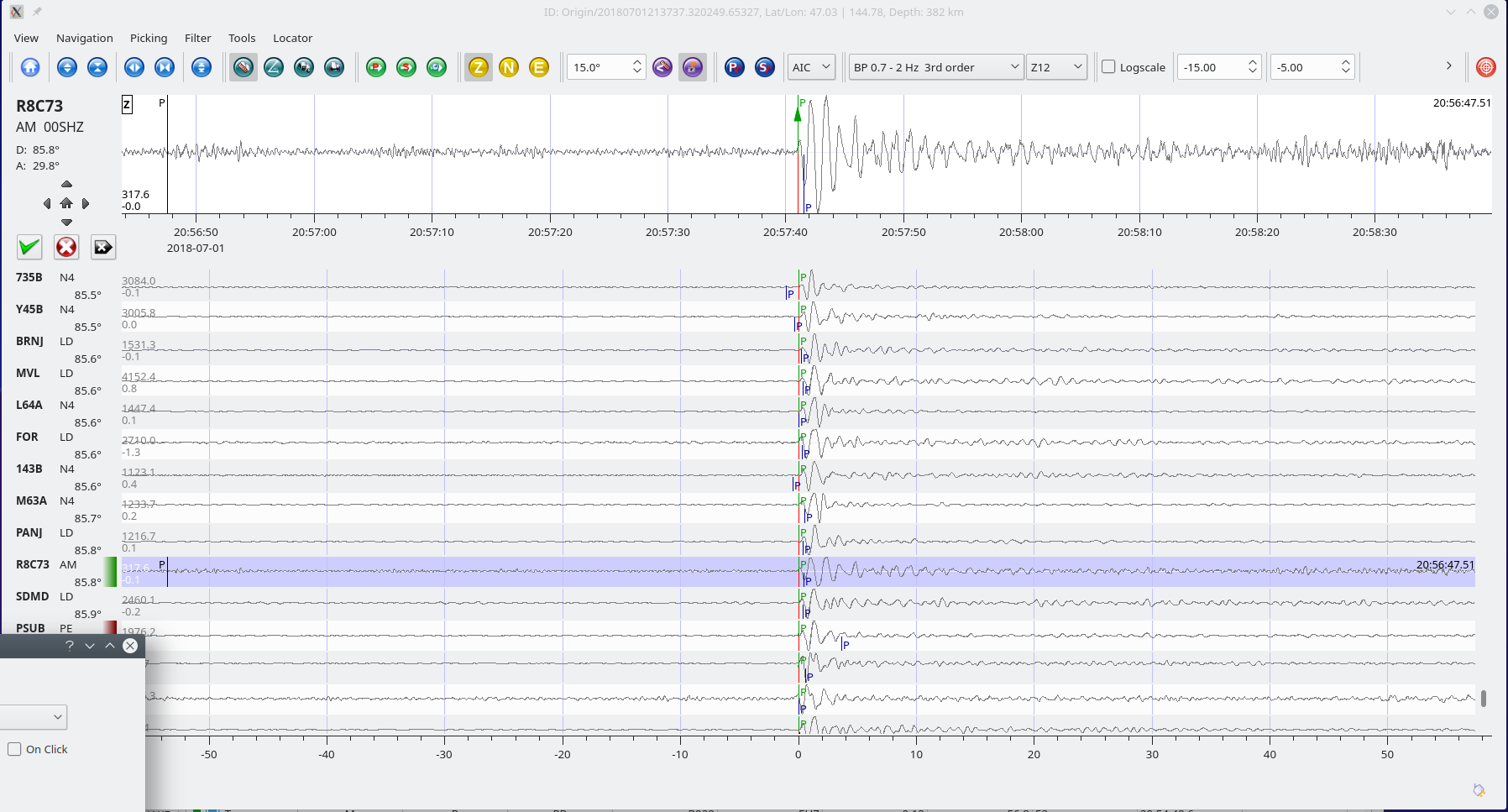
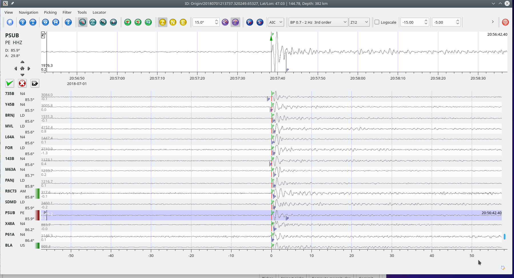
Traces for AM.R8C73.00.SHZ (Exton PA) and LD.WUPA.BHZ (West Chester University, West Chester PA)
Distance: 33.3 Deg. 3,690 km
Azimuth: 356.4 Deg.

Lombok Indonesia M6.9 Aug 5, 2018 at 11:46:38 UTC

Position: 8.260°S   116.436°E – Depth: 3 km

From the USGS summary of this earthquake:

“The August 5, 2018, M 6.9 earthquake in Pulau Lombok, Indonesia, occurred as the result of shallow thrust fault on or near The Flores Back Arc Thrust. Preliminary focal mechanisms for the earthquake indicates slip occurred on either a shallow, south-dipping thrust fault, or on a steep, north dipping reverse fault. At the latitude of this earthquake, the Sunda and Australia plates converge in a north-south direction at a rate of about 70 mm/yr. The location of this earthquake is consistent with it occurring as southward-oriented thrust faulting on the Flores Back Arc Thrust.

At the location of this event, the Sunda plate underthrusts the Indonesian Arc to the south, along the Flores Back Arc Thrust local to this earthquake, and along the Wetar Back Arc Thrust farther to the east. To the south, the Australia plate also underthrusts the arc to the north, along the Java Trench. This Flores region marks the transition between traditional oceanic plate subduction in the west (Australia plate beneath Sunda) to continental collision in the east. As a result, two opposite-verging thrust systems are evident in cross-sections, and the northward subducting slab of the Australia plate exists at depth beneath the Indonesian Islands and the Flores Sea. The focal mechanism solution and depth of this earthquake indicate it is associated with the Flores Back Arc Thrust system, rather than the deeper Australia slab.

In the region surrounding the August 5, 2018 earthquake, there have been six other events of M 6.5 or larger over the previous century. Four of these are likely to have occurred on the back arc thrust system; a M 6.5 in the Bali region to the west of Lombok in July 1976, and three events of M 6.5, M6.5, and M 6.6 in the Sumbawa region to the east of Lombok in November 2007 and November 2009. The Sumbawa earthquakes were associated with several deaths, hundreds of injuries, and hundreds of houses being destroyed.”

SeisComP3 traces for AM.R8C73.00.SHZ (Exton PA) and LD.WUPA.BHZ (West Chester University, West Chester PA).

Distance: 146.5 deg, 16,290 km

Azimuth 16.8 deg

These images are of a M5.7 aftershock that occurred two days later (Aug 9, 2018 @ 05:25:35 UTC).

Vanuatu M5.5 – Jul, 8, 2018 at 21:04:36 UTC

Position: 19.018°S   169.490°E – Depth: 255 km

SeisComP3 traces of AM.R8C73.00.SHZ (Exton PA), LD.WUPA.SHZ (West Chester University, West Chester PA), and PE.PSUB.HHZ (PennState Delaware County Campus) of this event.

Distance: 121.0 deg. 13,460 km
Azimuth: 54.1 deg.

Traces for AM.R8C73.00.SHZ in Swarm with different filters applied. The 1st and 3rd traces are unfiltered.

Kamchatka M6.1 Jul, 6, 2018 at 01:40:04 UTC

Position:51.499°N   157.840°E – Depth: 45 km

SeisComP3 trace of AM.RC8C73.00.SHZ (Exton PA).
Distance: 77.2 Deg. 8621 km
Azimuth: 39.2 Deg.