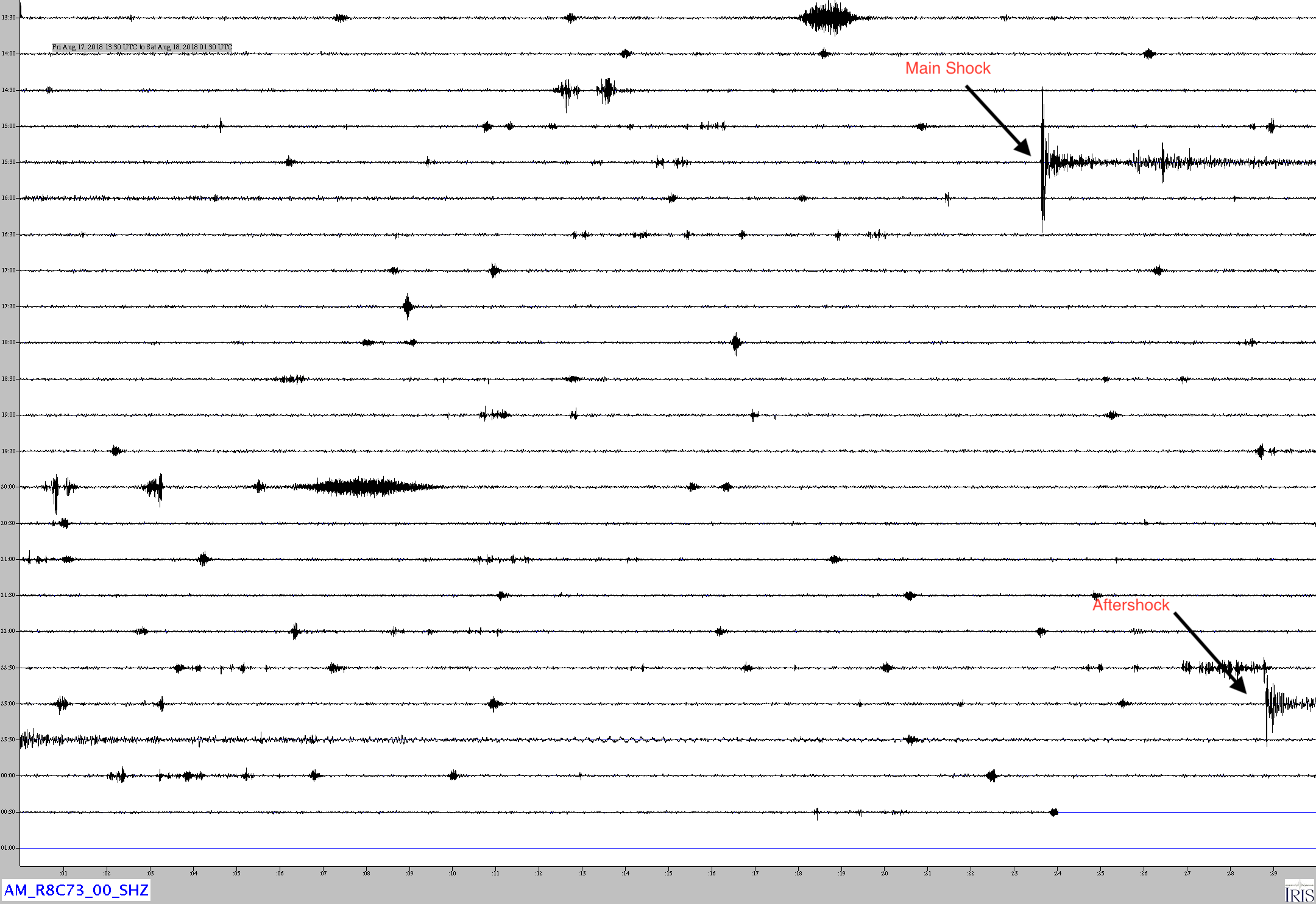
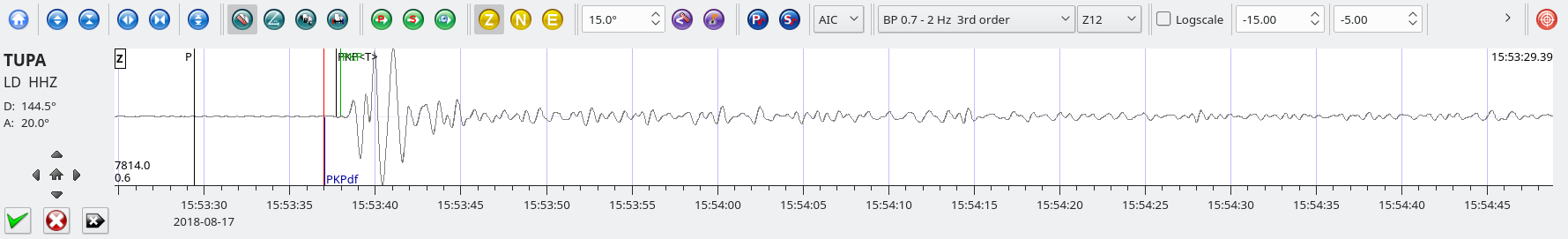
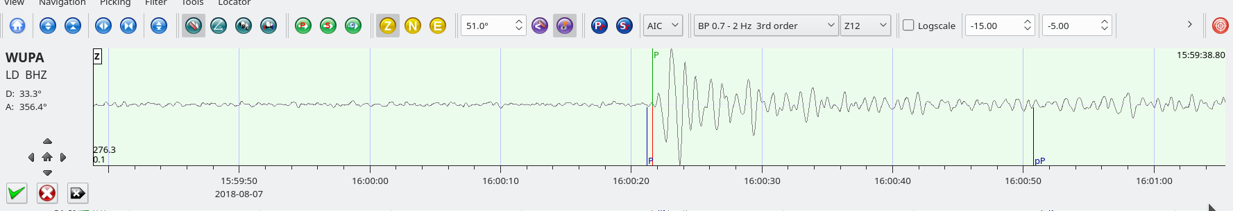
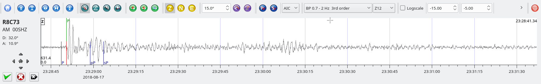
Costa Rica M6.0 August 17, 2018 at 23:22:24
Position:8.769°N 83.153°W – Depth: 15 km
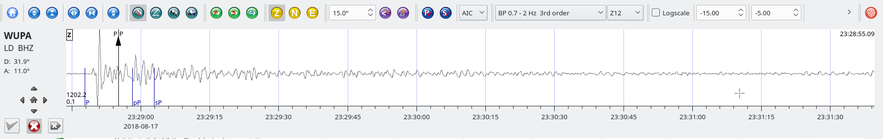
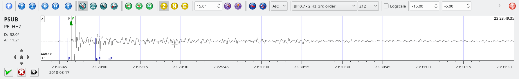
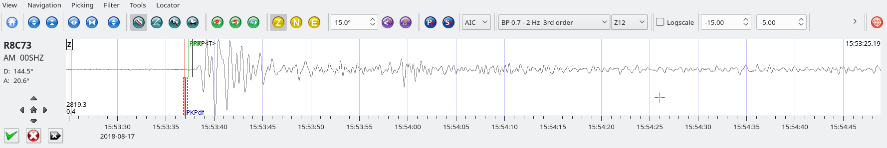
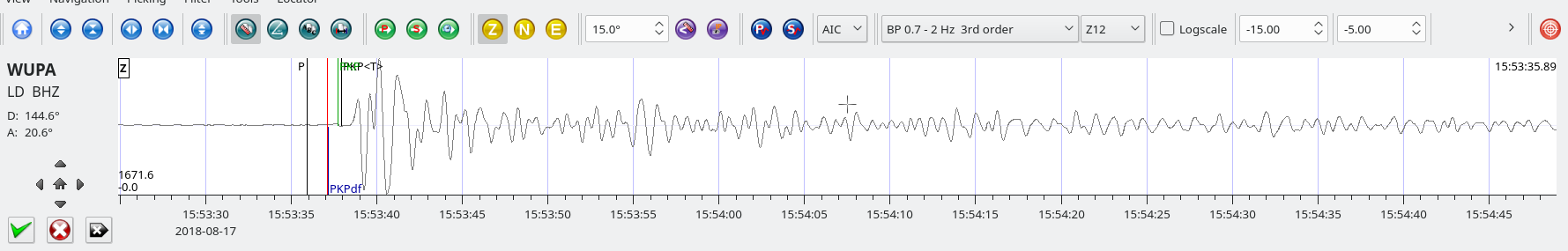
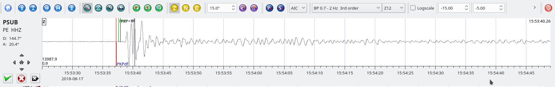
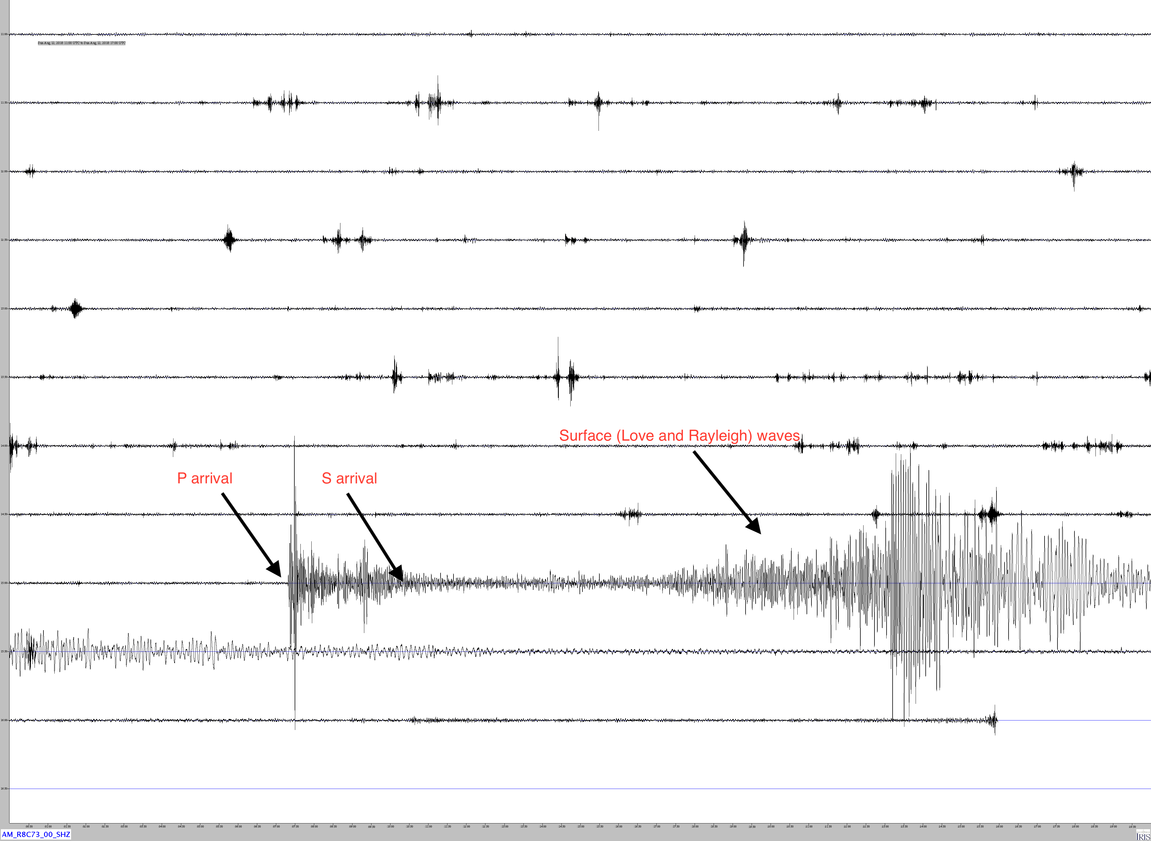
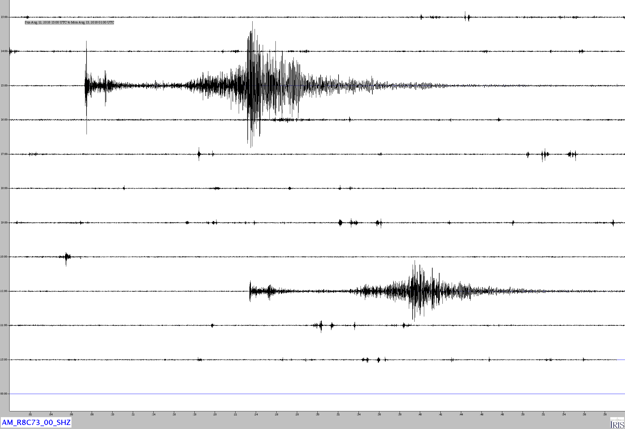
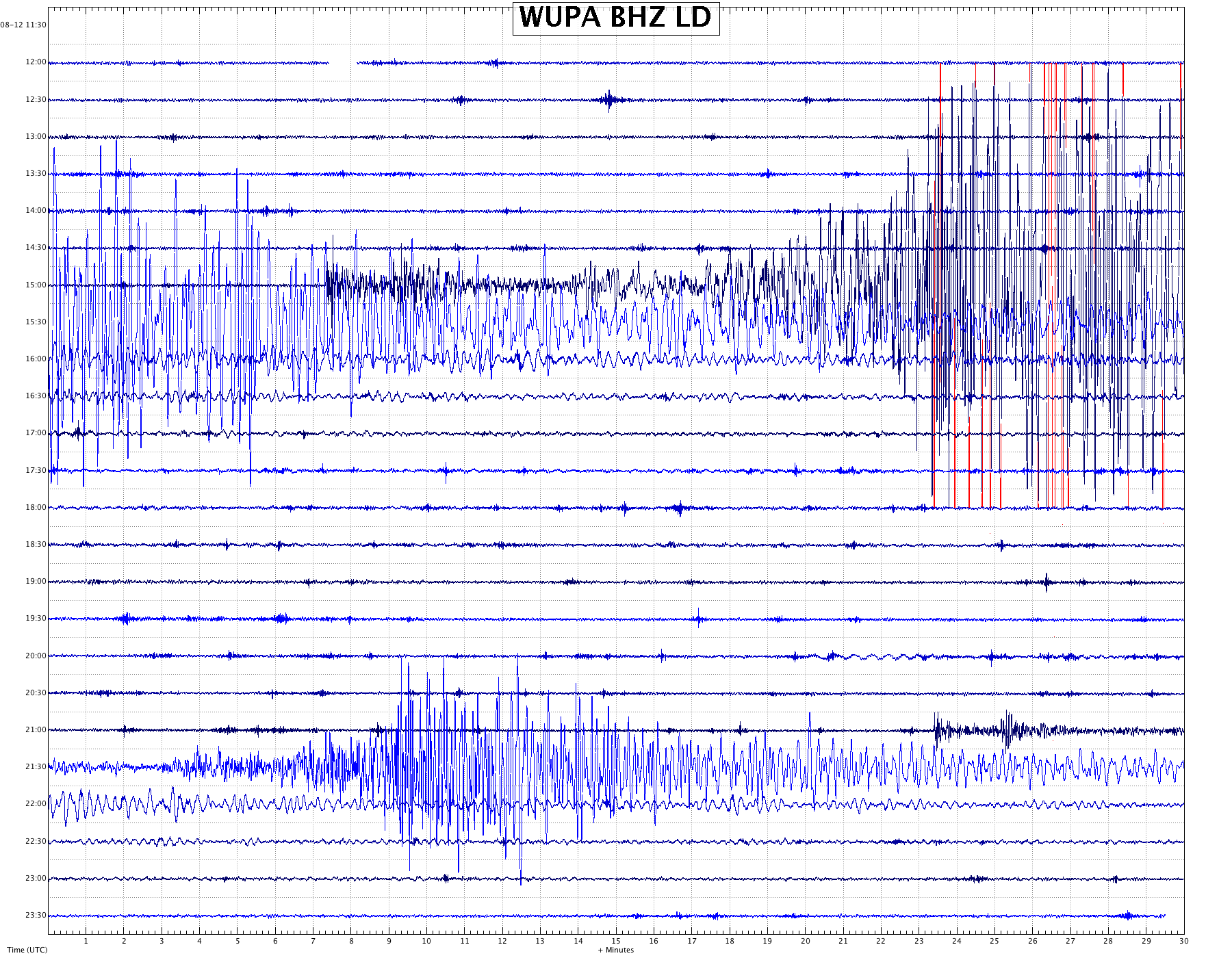
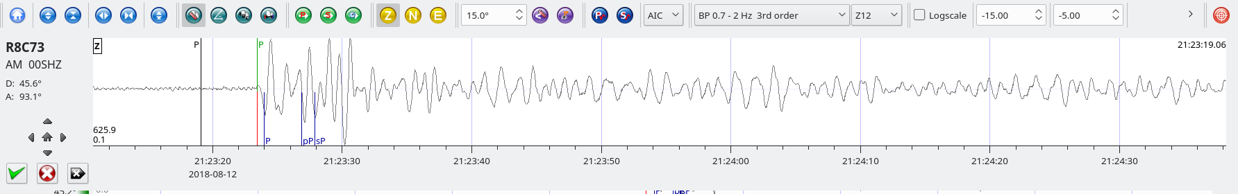
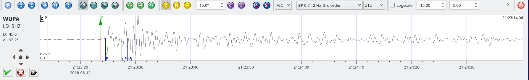
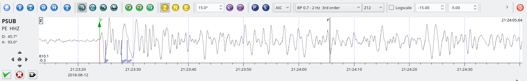
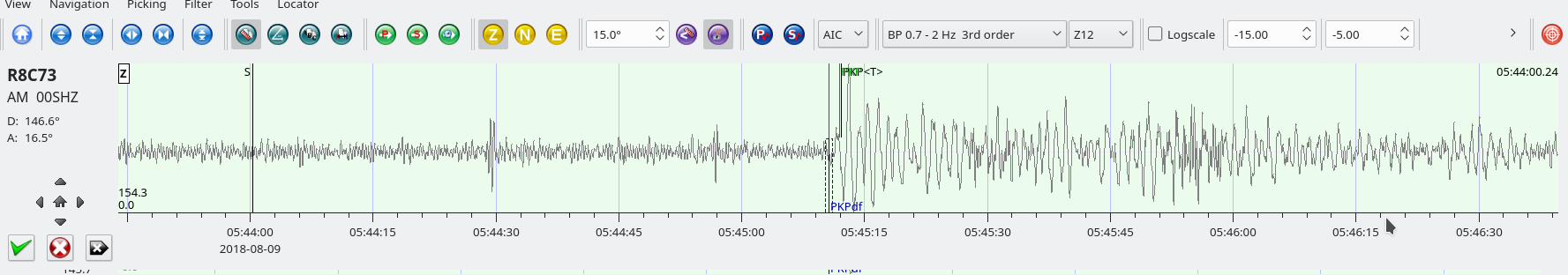
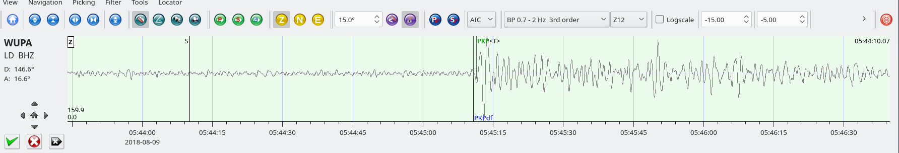
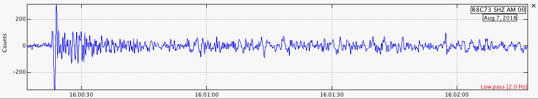
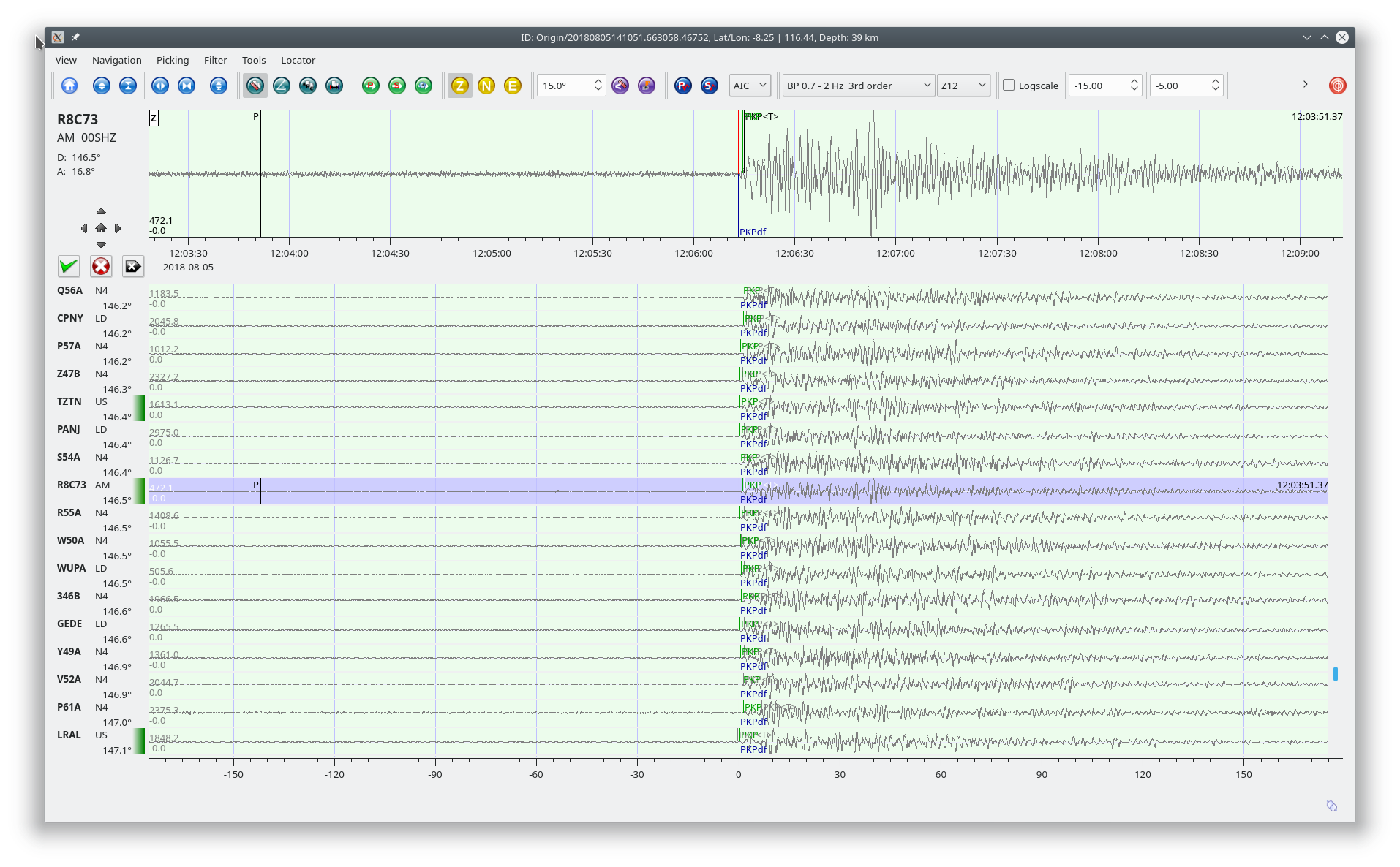
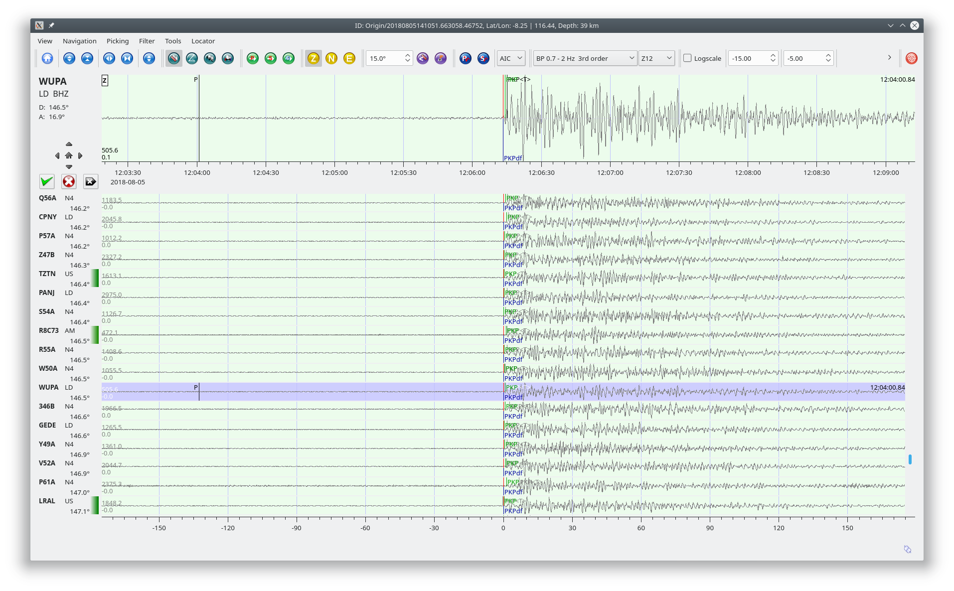
SeisComP3 traces for AM.R8C73.00.SHZ (Exton PA), LD.WUPA.BHZ (West Chester University, West Chester PA), and PE.PSUB.HHZ (Penn State Delaware County Campus).
Distance: 32.0 deg. – 3,542 km
Azimuth: 10.9 deg.
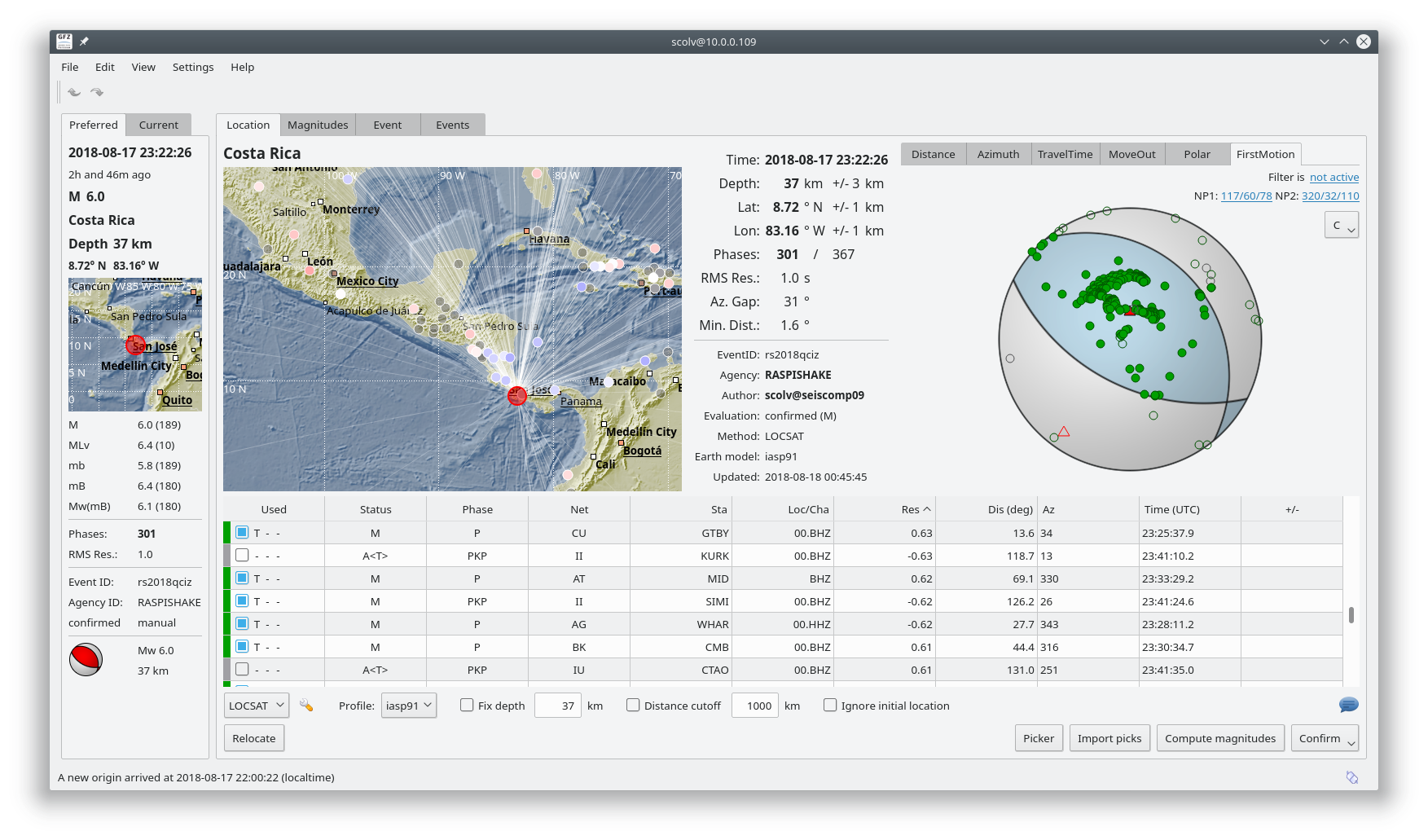
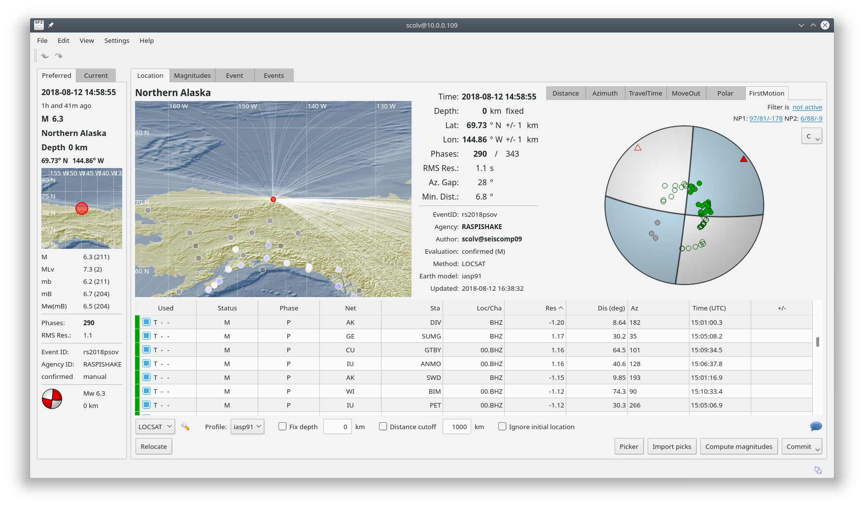
SeisComP3 display showing the focal mechanism for this event.