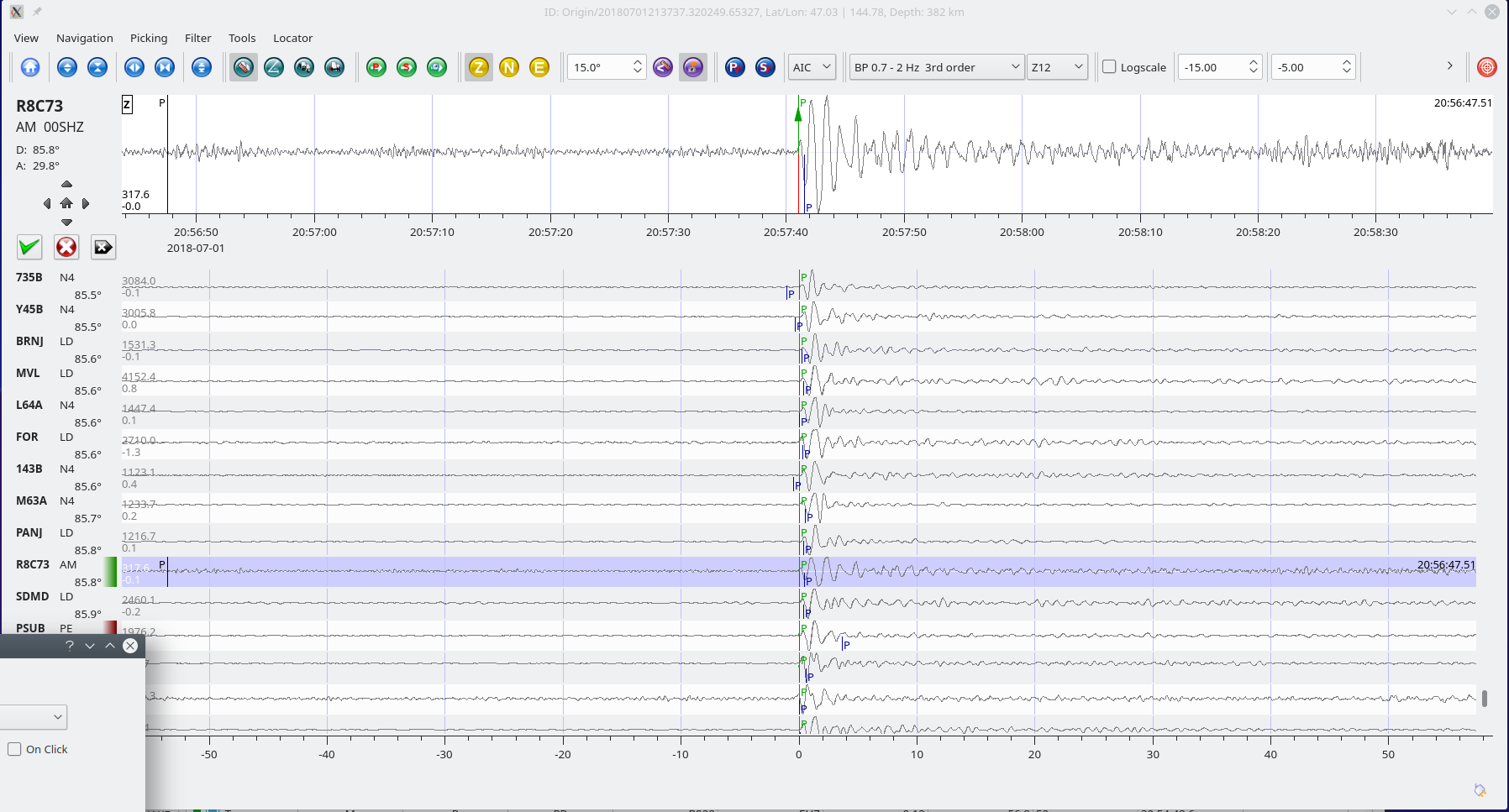
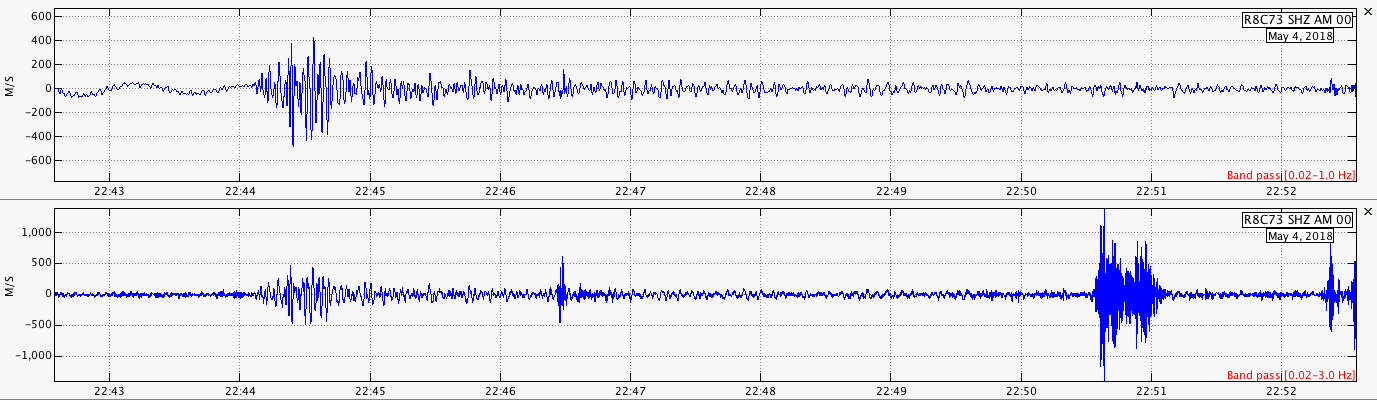
“The May 4, 2018, Mw 6.9 earthquake in Hawai’i occurred as a result of reverse faulting on the south flank of Kilauea volcano, in the east rift zone. Preliminary focal mechanism solutions indicate rupture occurred on shallow dipping thrust fault striking southwest, or on a steeply dipping reverse fault striking northeast. This earthquake is directly associated with volcanic activity at Kilauea volcano, and the evolution of its rift system and volcanic edifice.
Seismic activity has been elevated around Kilauea volcano over the past month, punctuated over the past ~24 hours with at least 7 earthquakes of M 4.5 or larger. On May 3rd, 2018, a M 5.0 occurred nearby the M 6.9 earthquake. About an hour prior to the M 6.9 event, a M 5.4 earthquake also struck in a similar location with a similar focal mechanism solution. Since the M 6.9 earthquake, 4 aftershocks of M 4.5 or larger have been located (all in the 30 minutes following the mainshock).
Regionally, this is the largest earthquake in Hawai’i since the Ms 7.1 (USGS) / Mw 7.4 (ISC-GEM) / Mw 7.7 (Nettles and Ekstrom, 2004) Kalapana earthquake in 1975, which also generated a local tsunami that took 2 lives. Damage due to the 1975 earthquake and tsunami was estimated to total $4.1 million in Hawai’i. The 1975 earthquake occurred on a basal detachment fault, rather than in the shallower rift zone where recent activity has been occurring. Over the past century, 9 earthquakes of M 6 or larger have occurred around the Big Island of Hawai’i.”