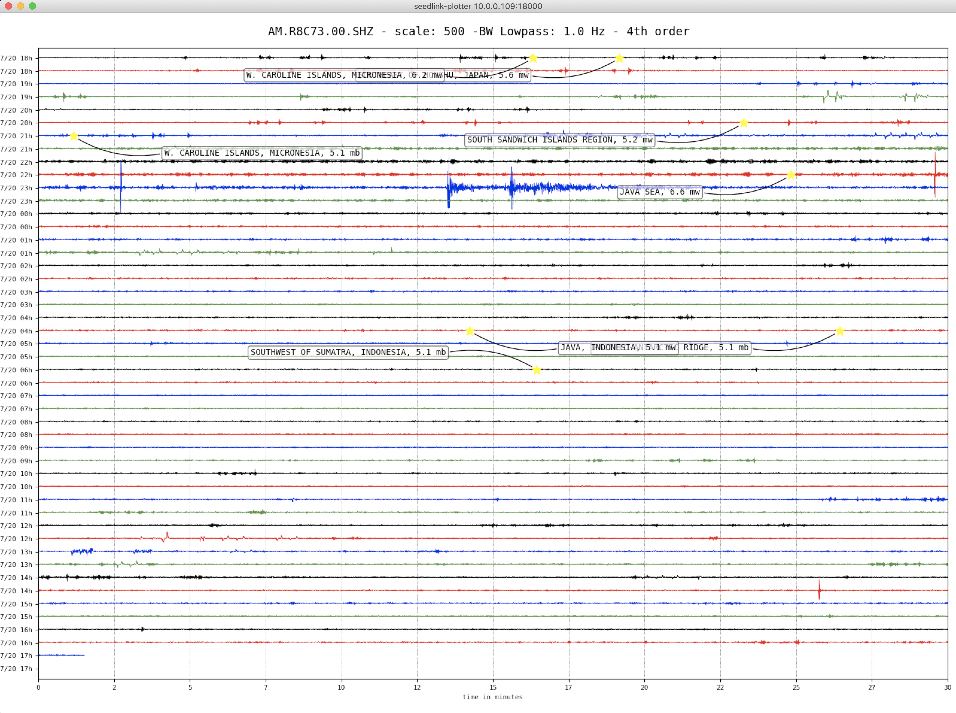
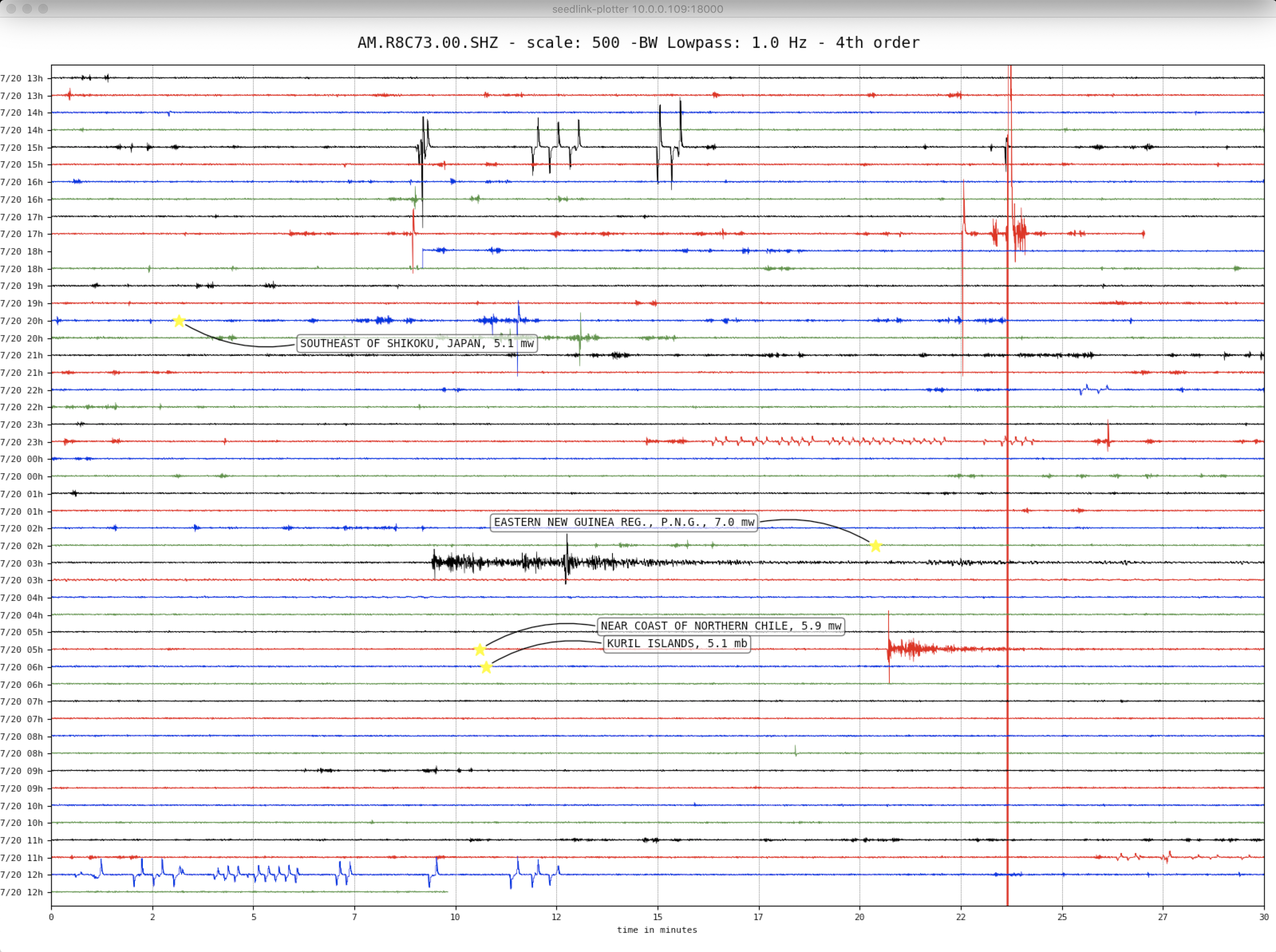
New Guinea – M7.0 – July 17, 2020 at 02:50:23 UTC

114 km NNW of Popondetta, Papua New Guinea

Latitude Longitude Depth (km) Dist (Deg) Dist (Km) Azimuth
-7.843 147.766 79.8 130.0 14,327 43.1


USGS Information Page


The July 17, 2020, M 7.0 Papua New Guinea earthquake occurred as a result of oblique normal faulting at an intermediate depth, approximately 80 km beneath eastern Papua New Guinea, near the northern edge of the Australia plate. Focal mechanism solutions indicate that rupture occurred either on a steeply dipping fault striking to the northwest, or a moderately dipping fault striking to the northeast. At the location of the earthquake, the Australia plate moves to the north relative to the Pacific plate at a velocity of about 73 mm/yr. Earthquakes in this geographical region are generally associated with the large-scale convergence of these two major plates and with the complex interactions of several associated microplates, most notably the South Bismarck plate, the Solomon Sea microplate, and the Woodlark plate. The depth of the July 17th earthquake implies that it occurred in subducted or foundered lithosphere.

Papua New Guinea experiences a high rate of seismic activity, with 64 earthquakes occurring of M 6 and larger within 250 km of this event in the past 50 years, 8 of which were M7 or larger. Most of the previous seismicity has occurred to the north of this event. Recently, on July 17th, 2019, a M7.1 earthquake occurred 175 km to the northeast of this July 17th event at a depth of 146 km and destroyed at least 130 homes. A M7.4 earthquake on February 8th, 1987, 200km north of this event caused landslides that resulted in 3 fatalities.

Earthquakes like the July 17th event, with focal depths between 70 and 300 km are commonly termed “intermediate-depth” earthquakes. Intermediate-depth earthquakes represent deformation within subducted slabs rather than at the shallow plate interface between subducting and overriding tectonic plates. They typically cause less damage on the ground surface above their foci than is the case with similar-magnitude shallow-focus earthquakes, but large intermediate-depth earthquakes may be felt at great distances from their epicenters.

Local SeisComP3 P-wave Arrivals

Indonesia – M6.6 – July 6, 2020 at 22:54:46 UTC

93 km N of Batang, Indonesia

Latitude Longitude Depth (km) Dist (Deg) Dist (Km) Azimuth
-5.637 110.678 528.7 145.2 16,144 8.4


USGS Information Page

Local SeisComP3 P-wave Arrivals

California – M5.8 – June 24, 2020 at 17:40:49 UTC

18km SSE of Lone Pine, CA

Latitude Longitude Depth (km) Dist (Deg) Dist (Km) Azimuth
36.447 -117.975 4.7 33.3 3,695 70.7


USGS Information Page

Local SeisComP3 P-wave Arrivals

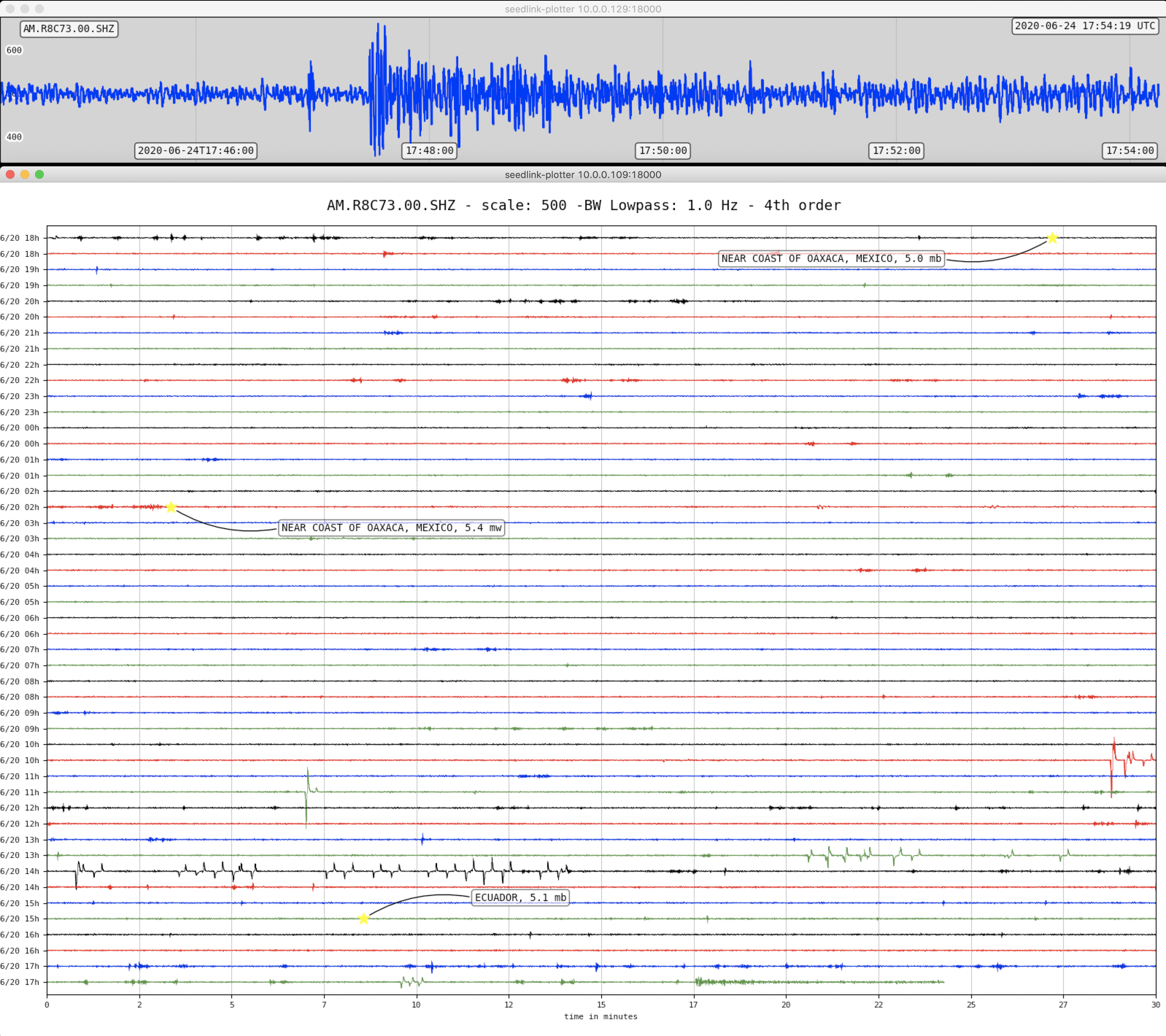
Mexico – M7.4 – June 23, 2020 at 15:29:05 UTC

12 km SSW of Santa María Zapotitlán, Mexico

Latitude Longitude Depth (km) Dist (Deg) Dist (Km) Azimuth
16.029 -95.901 26.3 29.8 3,307 32.5


USGS Information Page

Tectonic Summary

The June 23, 2020, M 7.4 earthquake near Oaxaca, Mexico occurred as the result of reverse faulting on or near the plate boundary between the Cocos and North American plates. Focal mechanism solutions for the event indicate rupture occurred on either a shallowly dipping thrust fault striking towards the west or on a steeply dipping reverse fault striking towards the ESE. The depth and focal mechanism solutions of the event are consistent with its occurrence on the subduction zone interface between these plates, approximately 100 km northeast of the Middle America Trench, where the Cocos plate begins its descent into the mantle beneath Mexico. In the region of this earthquake, the Cocos plate moves approximately northeastward at a rate of 60 mm/yr.

While commonly plotted as points on maps, earthquakes of this size are more appropriately described as slip over a larger fault area. Reverse faulting events of the size of the June 23, 2020 earthquake are typically about 70 x 35 km in size (length x width).

Historically, several significant earthquakes have occurred along the southern coast of Mexico. In 1932, a M 8.4 thrust earthquake struck in the region of Jalisco, several hundred kilometers to the northwest of the June 23rd event. On October 9, 1995, a M 8.0 earthquake struck in the Colima-Jalisco region, resulting in at least 49 fatalities and leaving 1,000 people homeless. The deadliest nearby earthquake occurred on September 19, 1985, in the Michoacan region ~700 km to the northwest of the June 23rd event. This M 8.0 earthquake resulted in at least 9,500 fatalities, injured about 30,000 people, and left 100,000 people homeless. In 2003, a M 7.6 earthquake in Colima, Mexico, resulted in 29 fatalities, destroyed more than 2,000 homes and left more than 10,000 people homeless. In March 2012, a M 7.4 earthquake 250 km to the northwest of the June 23rd, 2020 event killed 2 and injured 11 in the Oaxaca region. The hypocenter of the September 8th, 2017, M 8.2 earthquake offshore Chiapas is located 240 km southeast of today’s earthquake. That event caused at least 78 fatalities and 250 injuries in Oaxaca, and a further 16 deaths in Chiapas. Eleven days later, a M 7.1 earthquake struck closer to Mexico City, 390 km northwest of today’s earthquake, resulting in over 300 fatalities and significant damage in Mexico City and the surrounding region. In February 2018, a M 7.2 struck 225 km to the northwest of this event that injured four people and damaged 1,000 homes in Oaxaca. In addition, a military helicopter surveying the damage crashed at Jamiltepec, killing 14 people on the ground and injuring 15 others.

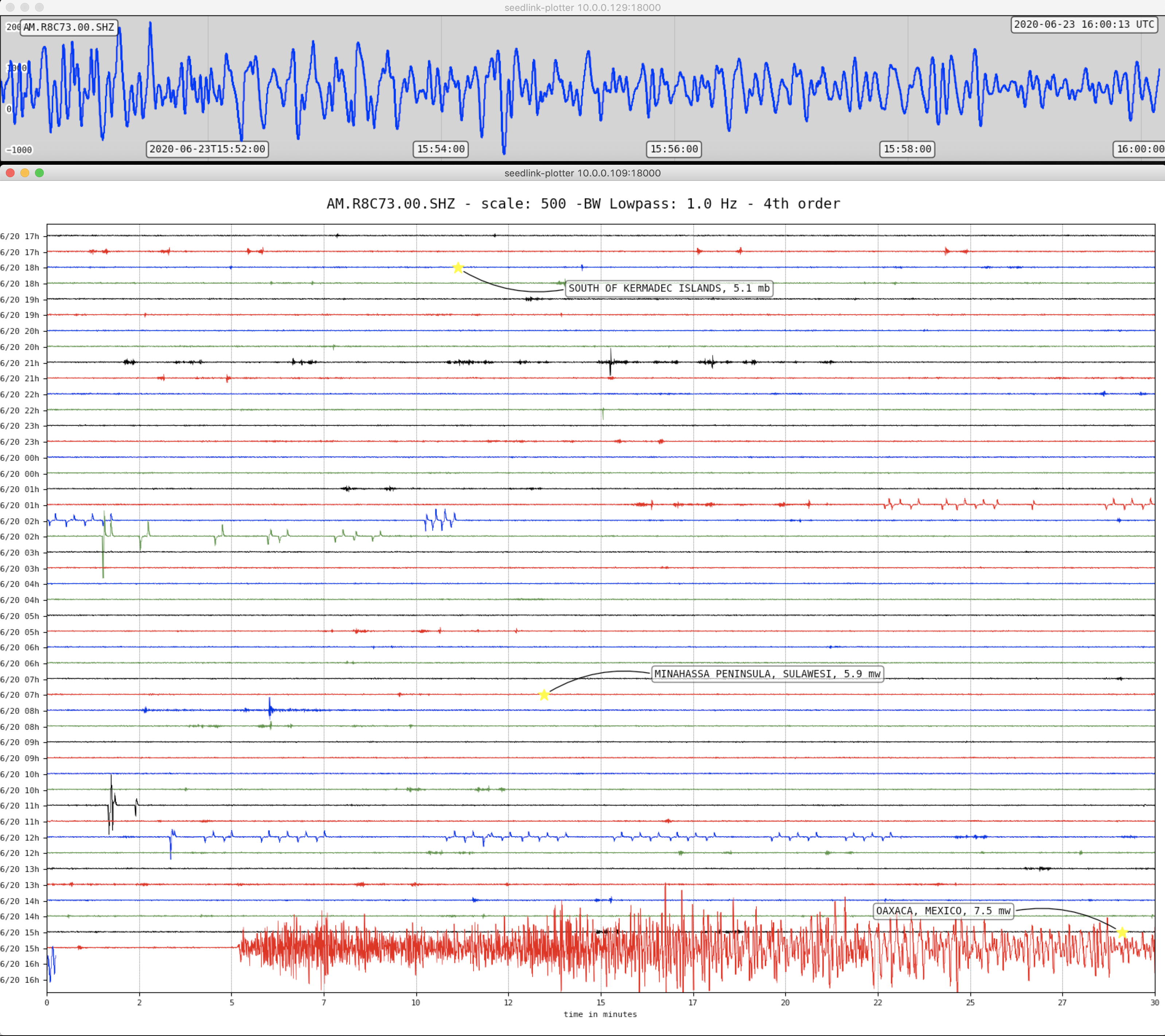
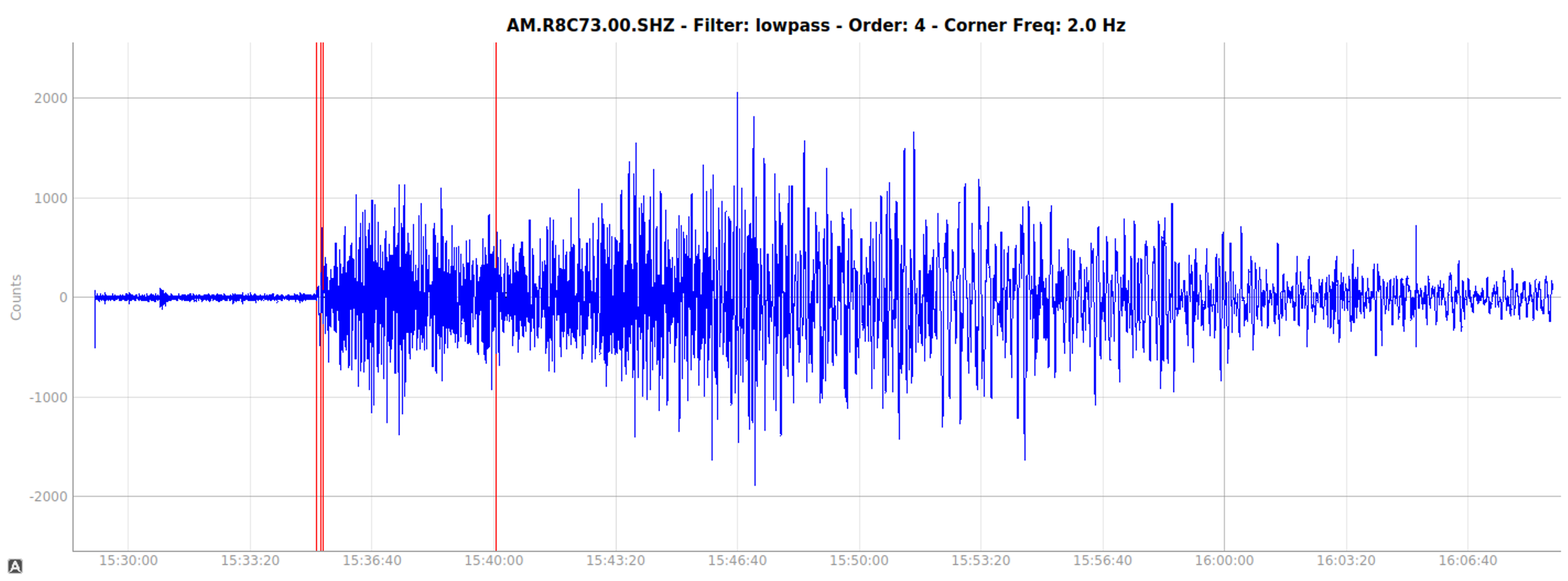
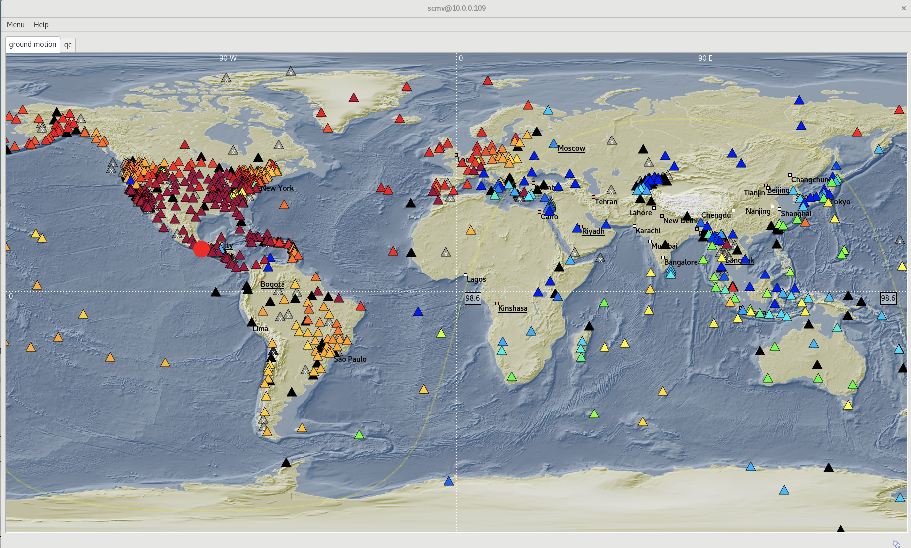
Arrival of body waves.

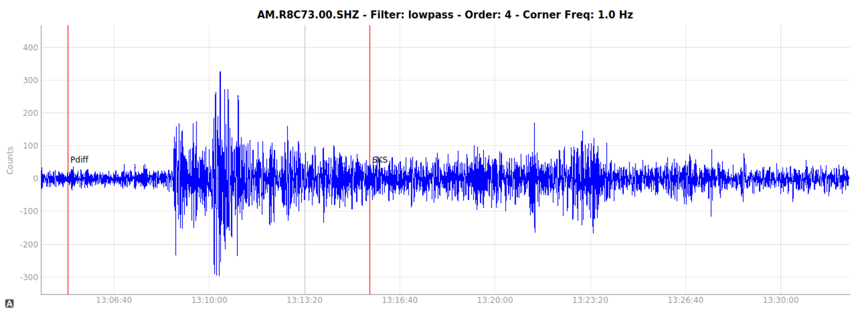
Strong surface waves still occurring 25 minutes after first arrivals.

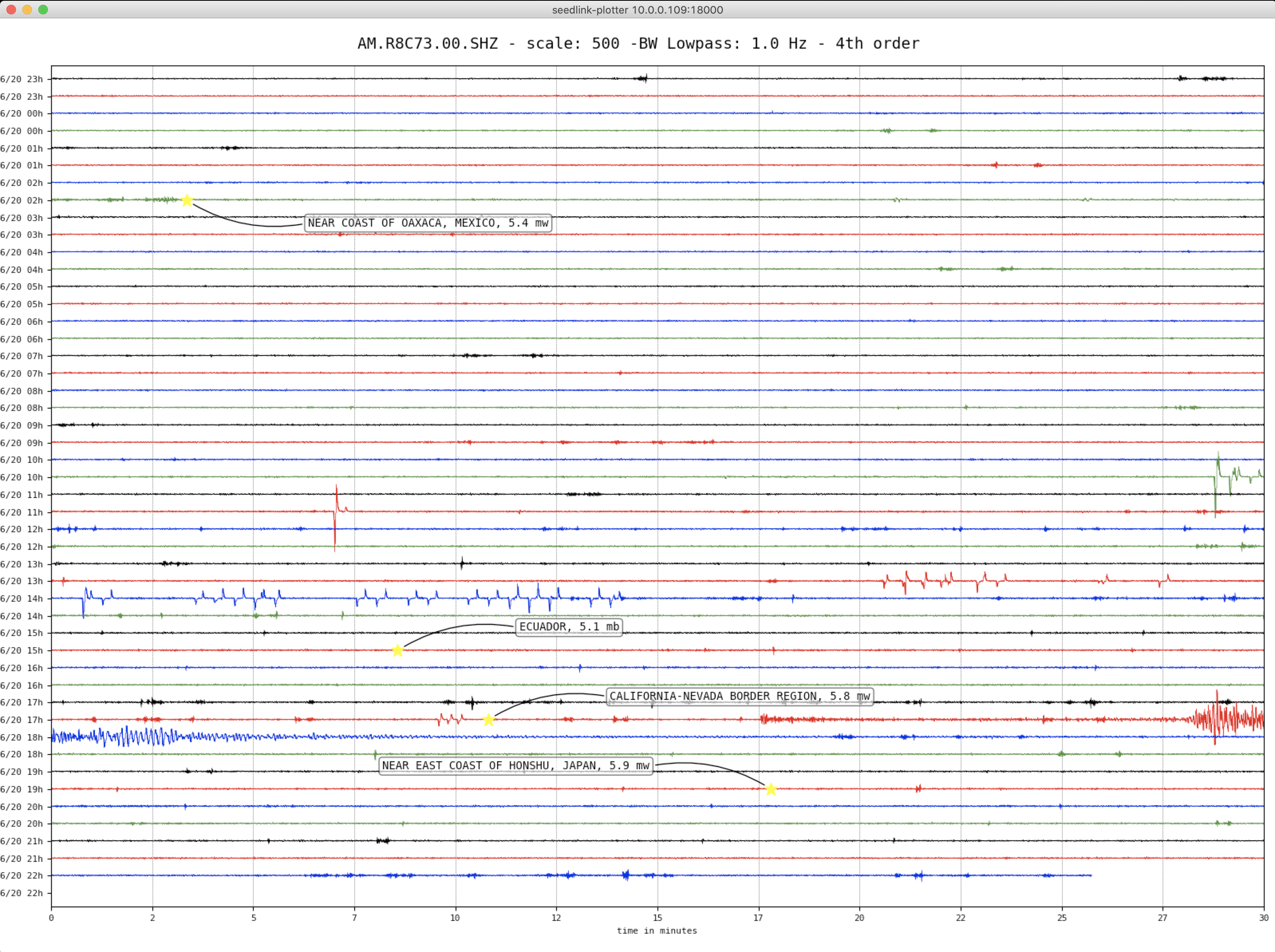
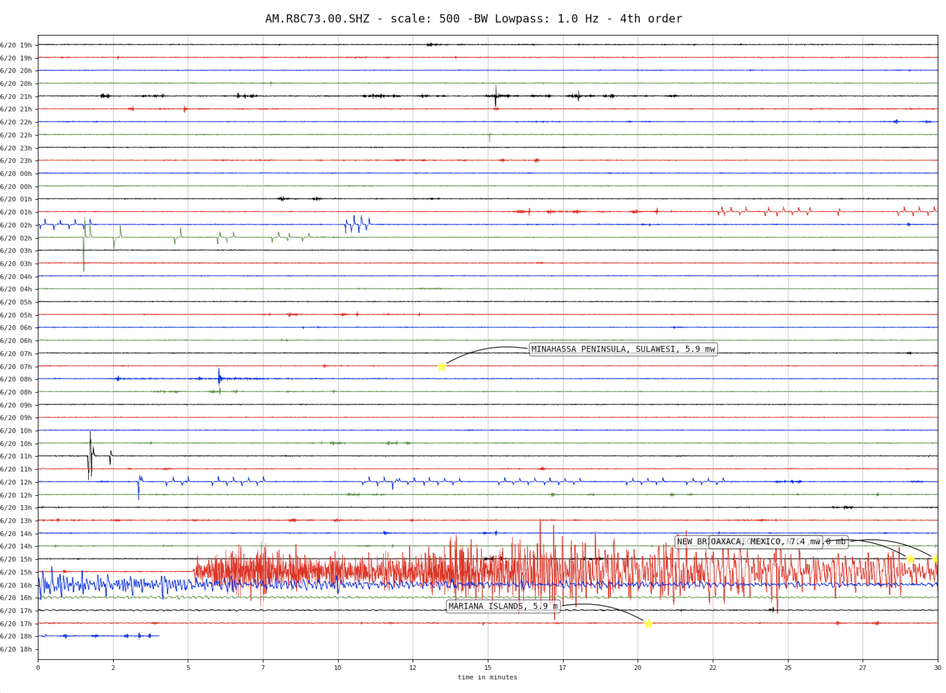
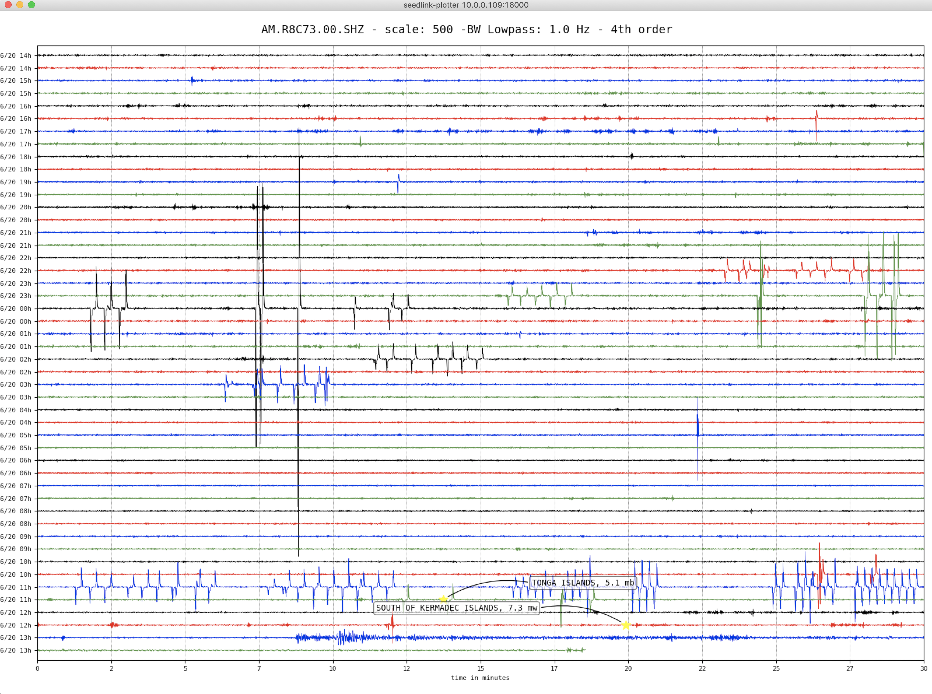
Heliocorder plot showing surface waves detected for more than 90 minutes.

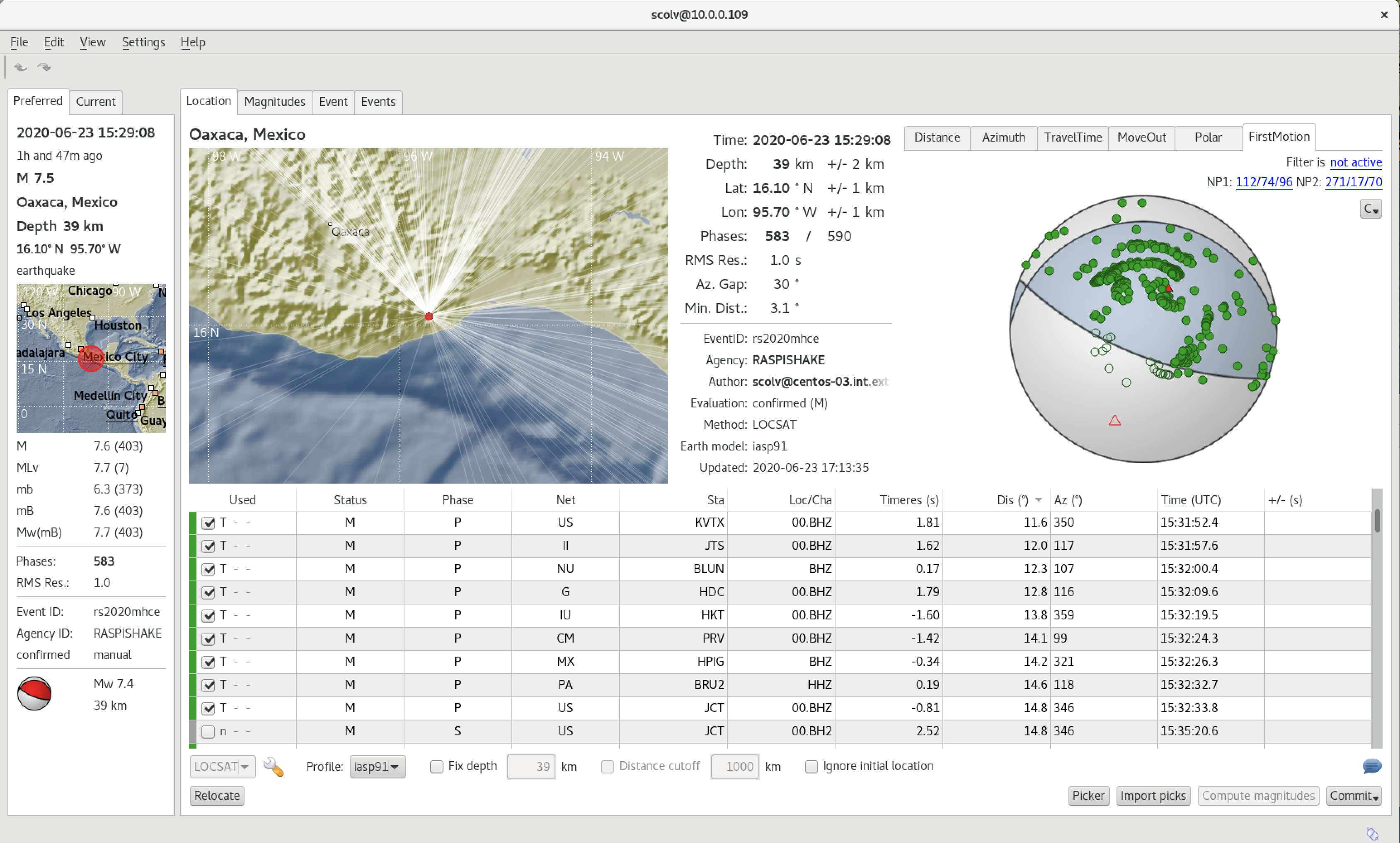
Local SeisComP3 P-wave Arrivals

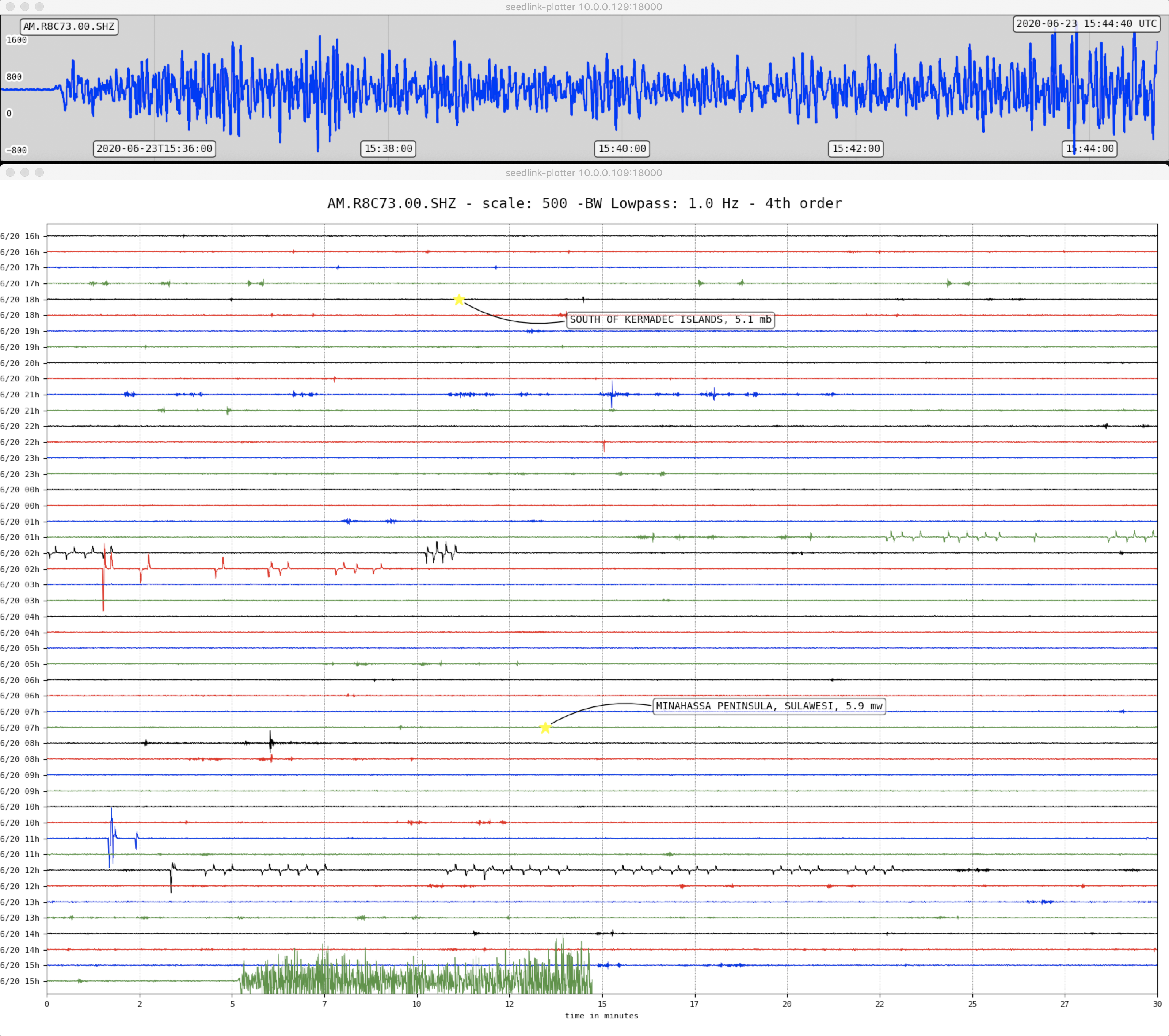
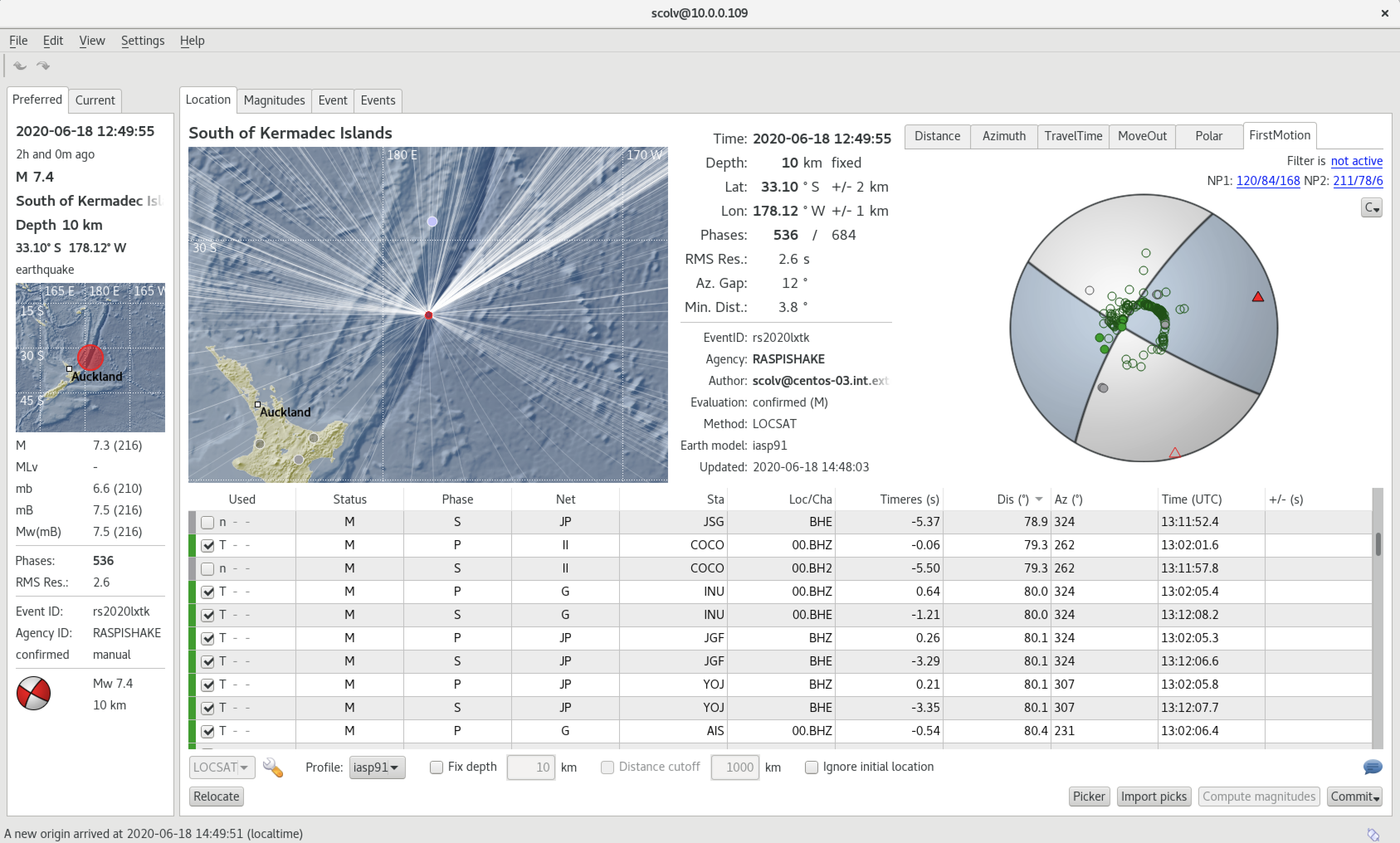
Kermadec Islands – M7.4 – June 18, 2020 at 12:49:53 UTC

south of the Kermadec Islands

Latitude Longitude Depth (km) Dist (Deg) Dist (Km) Azimuth
-33.294 -177.838 10.0 119.4 13,251 59.2


USGS Information Page

Tectonic Summary

The June 18, 2020, M 7.4 Kermadec Islands region earthquake occurred as the result of shallow strike slip faulting near the Kermadec Trench where the Pacific plate begins its descent into the mantle beneath the eastern edge of the Australia plate. Focal mechanism solutions indicate that rupture occurred on a steeply dipping fault striking either to the southwest (left-lateral) or to the southeast (right-lateral). At the location of this earthquake, the Pacific plate is converging with Australia in a westward direction at a velocity of about 55 mm/yr. The focal mechanism solution and depth (about 30 km) of the event suggest that it ruptured a strike slip fault within the shallow oceanic lithosphere of the Pacific plate; the location suggests a source near the trench, within the oceanic plate near the outer rise region. While commonly plotted as points on maps, earthquakes of this size are more appropriately described as slip over a larger fault area. Strike slip events of the size of the June 18, 2020, earthquake are typically about 110×20 km (length x width).

The June 18th earthquake struck in an oceanic region with few nearby populations, approximately 650 km to north of Bay of Plenty, New Zealand. This region of the Tonga-Kermadec subduction zone experiences high levels of seismic activity, with nearly 20 events of M 6.5+ over the past half century within 250 km of the June 18 event. While M7+ earthquakes along the Kermadec Arc are generally common, this section of the subduction zone has hosted just one such event, a M 7.4 earthquake in May 2006 at an intermediate depth within the subducting Pacific slab to the west of today’s earthquake. No historic seismicity in this region is known to have resulted in damage or casualties.

Local SeisComP3 P-wave Arrivals

Peru – M6.0 – May 31, 2020 at 05:09:35 UTC

32 km WNW of Lampa, Peru

Latitude Longitude Depth (km) Dist (Deg) Dist (Km) Azimuth
-15.275 -70.663 153.4 55.3 6,143 355.4


USGS Information Page

Local SeisComP3 P-wave Arrivals