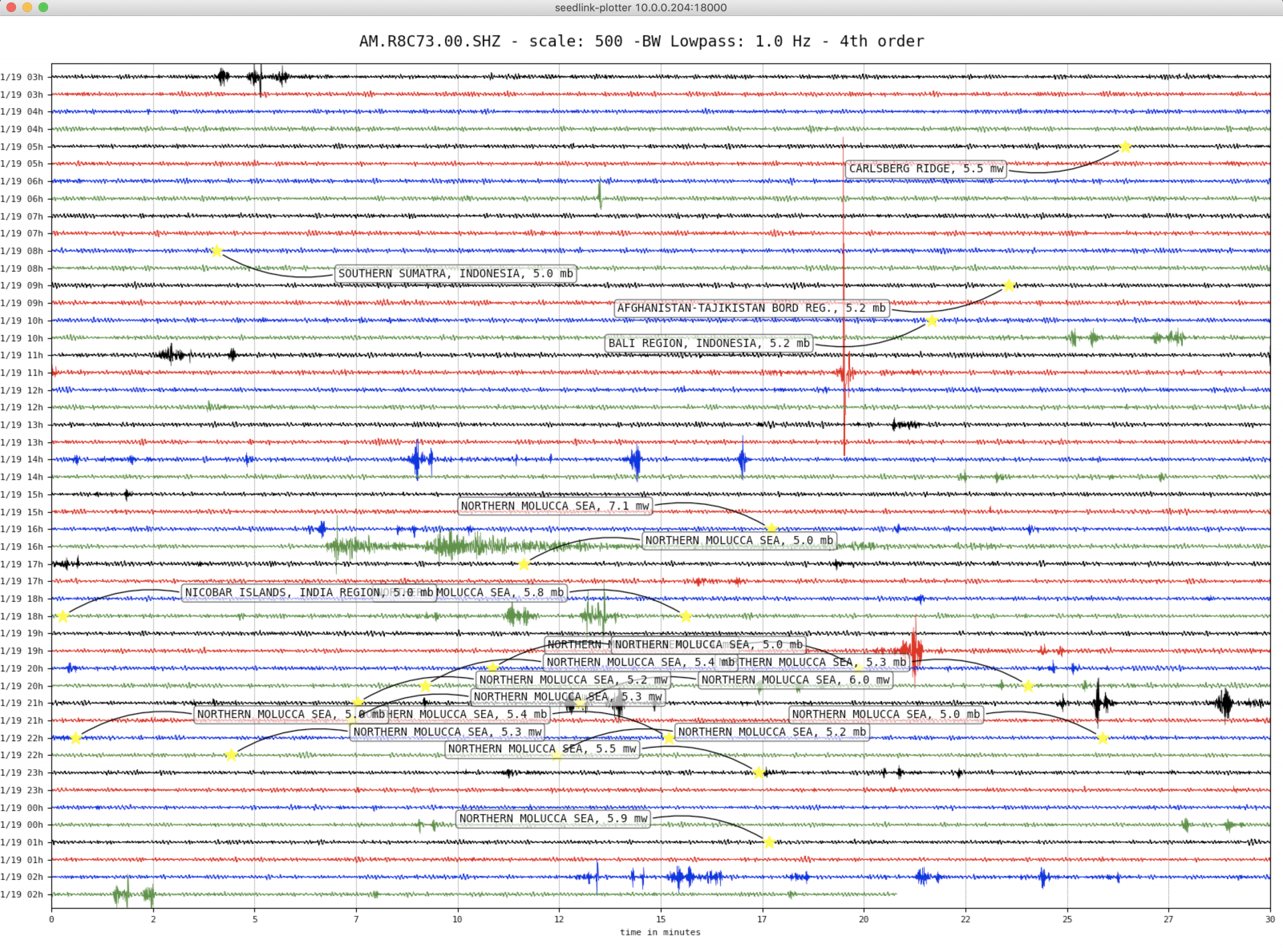
Philippines – M6.8 – Dec 15, 2019 at 06:11:52 UTC
6km S of Magsaysay, Philippines
| Latitude | Longitude | Depth (km) | Dist (Deg) | Dist (Km) | Azimuth | |
|---|---|---|---|---|---|---|
| 6.708 | 125.188 | 22.4 | 129.6 | 14,411 | 20.6 |
Tectonic Summary
The December 15, 2019 M 6.8 earthquake south of Magsaysay, on the Philippine island of Mindanao, occurred as the result of strike-slip faulting in the crust of the Sunda plate. At the location of the earthquake, the Philippine Sea plate converges with the Sunda plate at a velocity of approximately 105 mm/yr towards the west-northwest, subducting into the mantle beneath Mindanao at the Philippine Trench, about 220 km to the east of this earthquake. Preliminary focal mechanism solutions for the event indicate slip on either a steep left-lateral fault striking to the northwest, or on a more moderately dipping right-lateral fault striking to the northeast. Aftershocks most clearly align with the left-lateral plane, though complexity in faulting is evident in both these aftershocks and also in foreshocks – this event is part of an on-going sequence that began in October 2019.
Beginning around October 11, 2019, when a M 5.1 earthquake occurred approximately 17 km to the west of the December 15th event, this region has experienced a pronounced earthquake sequence involving over 150 M4.5+ events and four M6+ earthquakes – a M 6.4 event on October 16th, 20 km to the west; a M 6.6 event on October 29th, 23 km to the west-northwest; a M 6.5 event on October 31st, 22 km to the north; and finally this M 6.8 event on December 15th. These earthquakes have collectively resulted in at least a dozen shaking-related fatalities, over 150 injuries, and significant damage in the region. The sequence is geometrically complex, and suggests the activation of both left-lateral (e.g., between the earliest two M6+ events and today’s M6.8 earthquake) and right-lateral (e.g., between the earliest two M6+ events and the M 6.5 event) structures.
Northeastern Indonesia and southern Philippines are characterized by complex tectonics in which motions of numerous small microplates accommodate the large-scale convergence among the Philippine Sea, Sunda, Pacific, and Australia plates. The tectonic setting of the Philippines is unusual in that it is characterized by opposite-facing subduction systems on its east and west sides. To the east, the aforementioned Philippines Trench marks subduction of the Philippine Sea plate towards the west beneath the island, while to the southwest of Mindanao, the Cotabato system also hosts active subduction towards the northeast. Further north, Sunda subducts to the east beneath the Philippine Sea Plate at the Manila Trench. These complex tectonics result in frequent earthquakes, and the region within 250 km of today’s event has experienced 34 other M 6.5+ events over the 50 years preceding the latest sequence. Very few of those have occurred at shallow depth within the interior of the island of Mindanao.
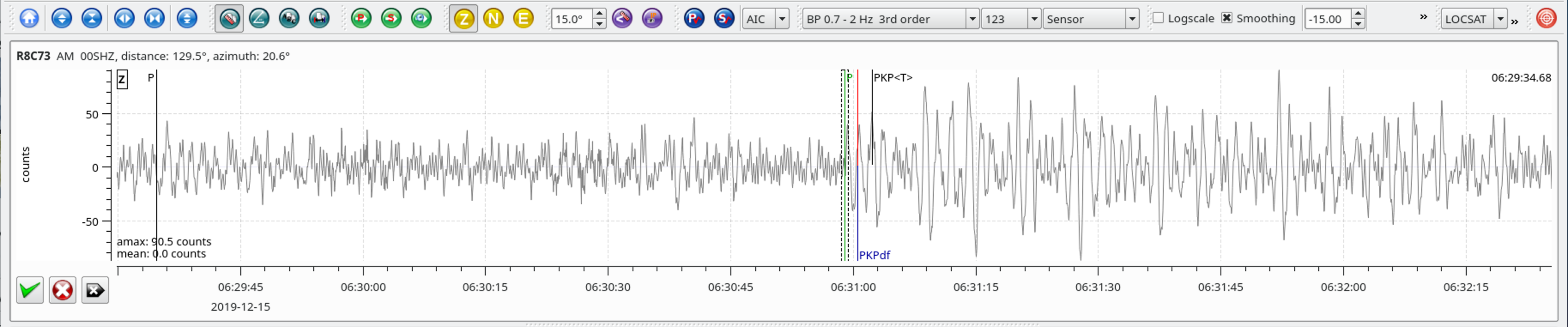
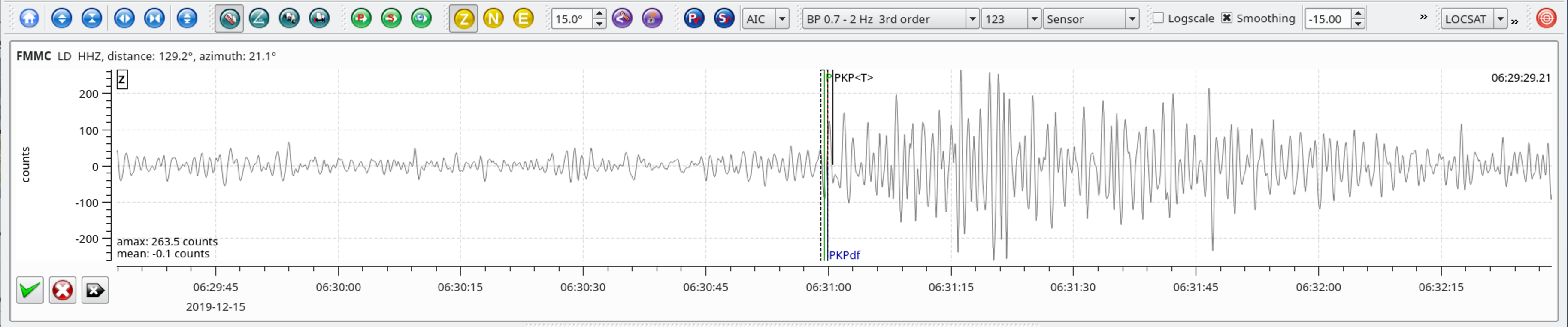
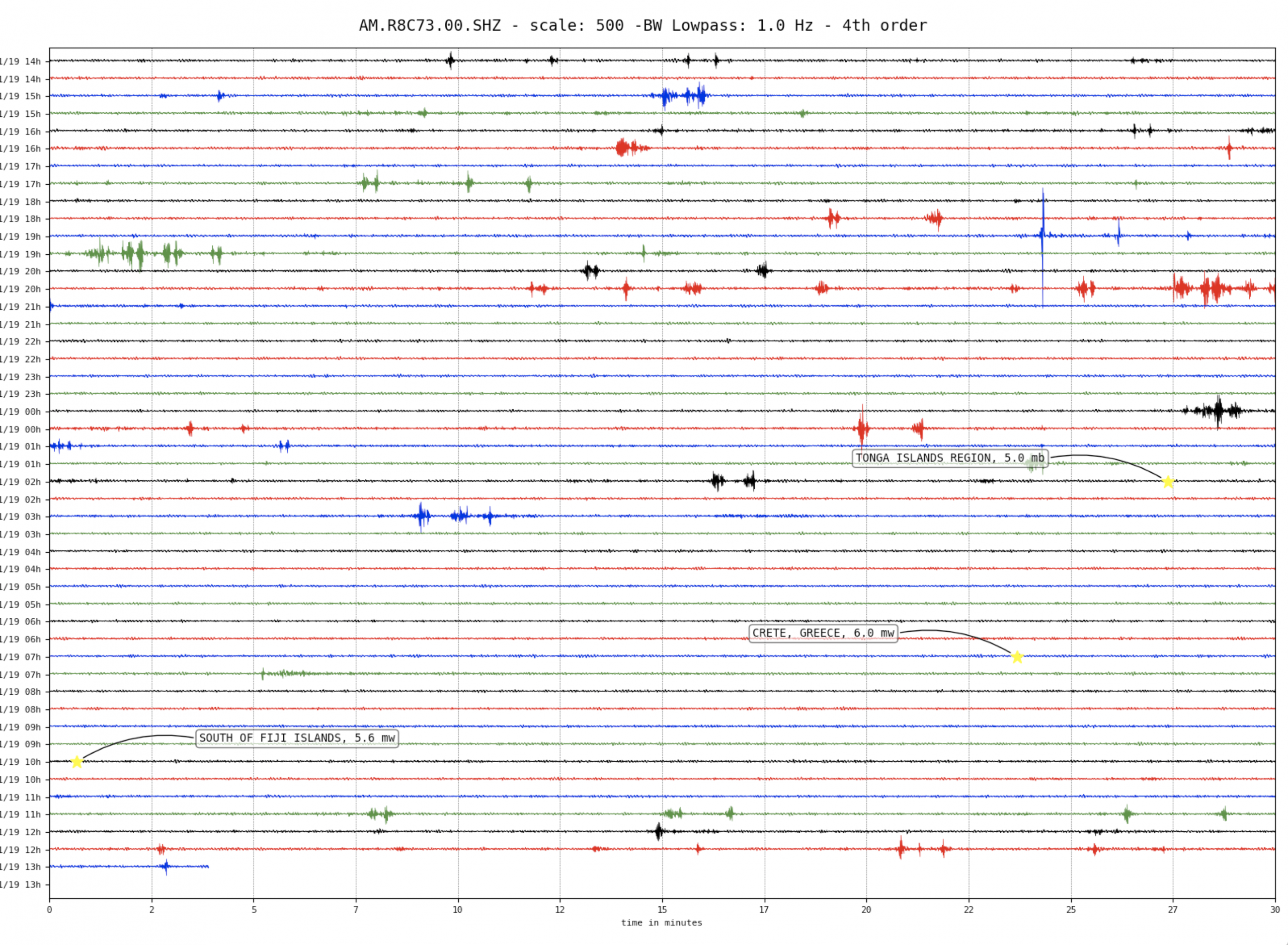
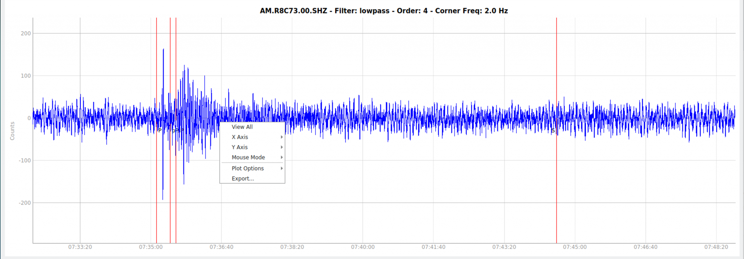
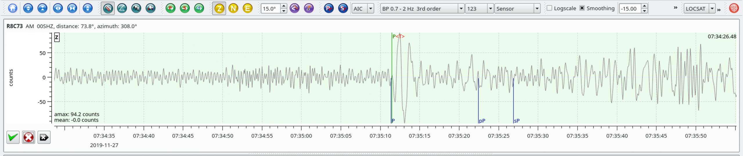
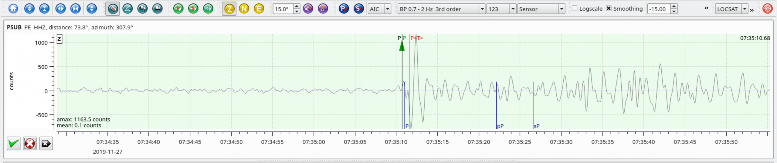
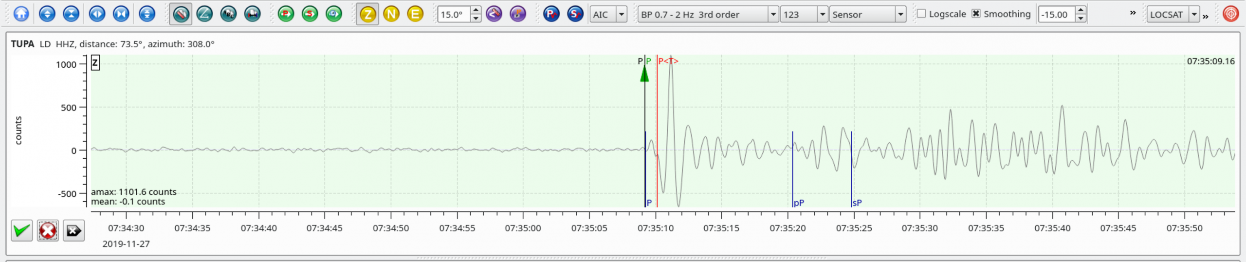
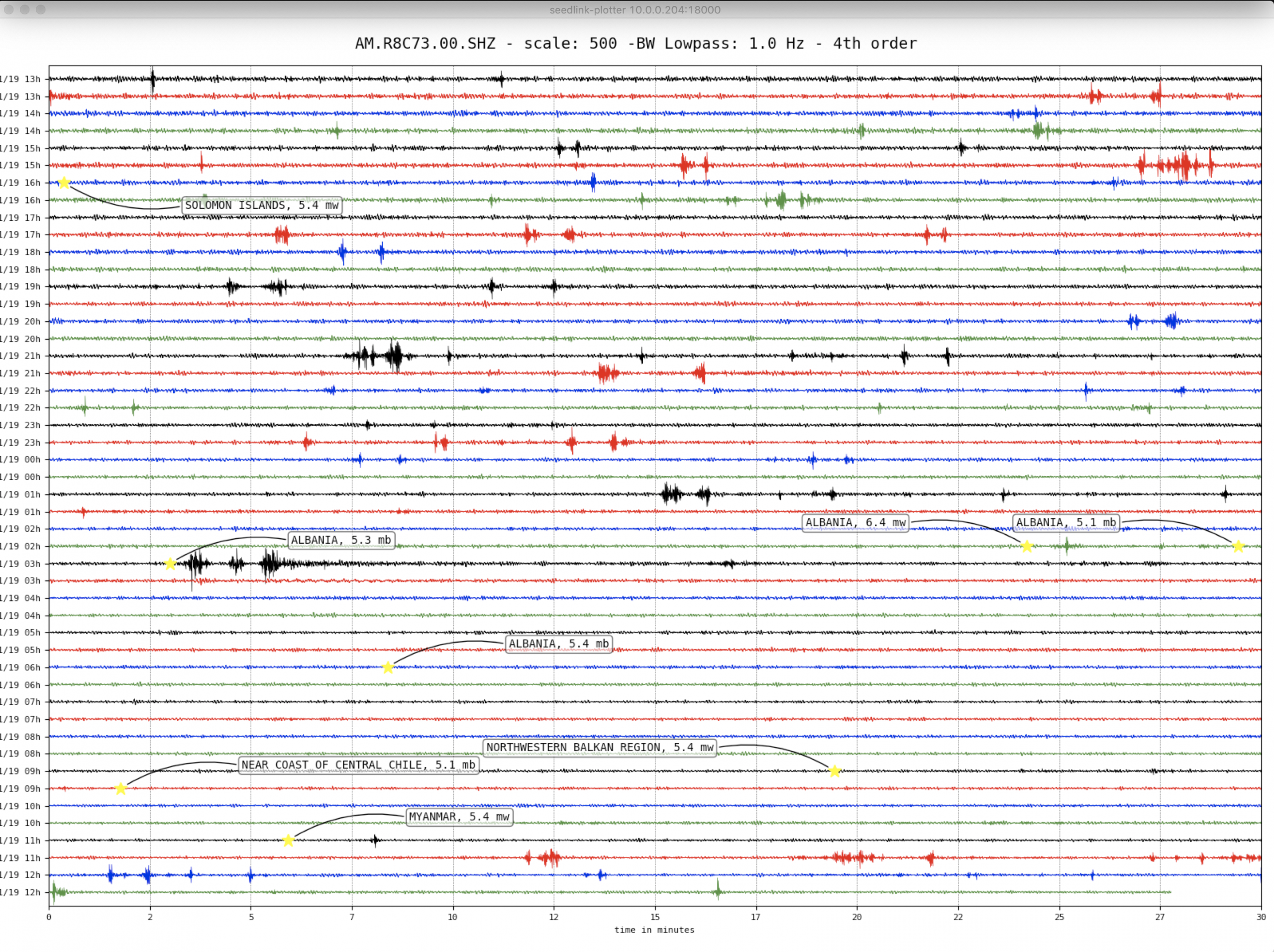
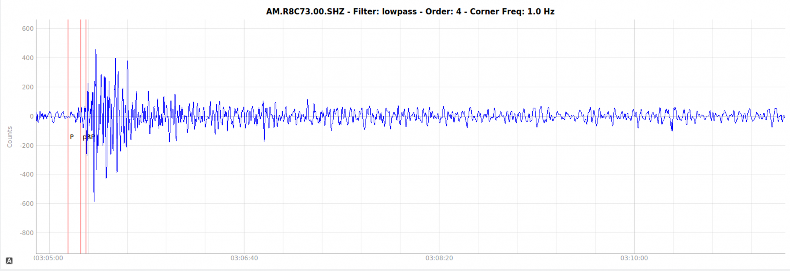
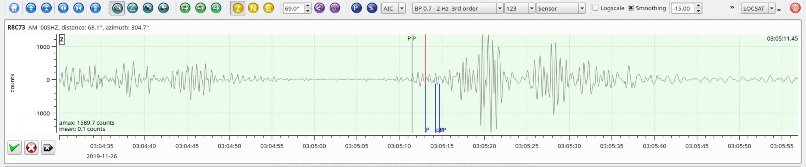
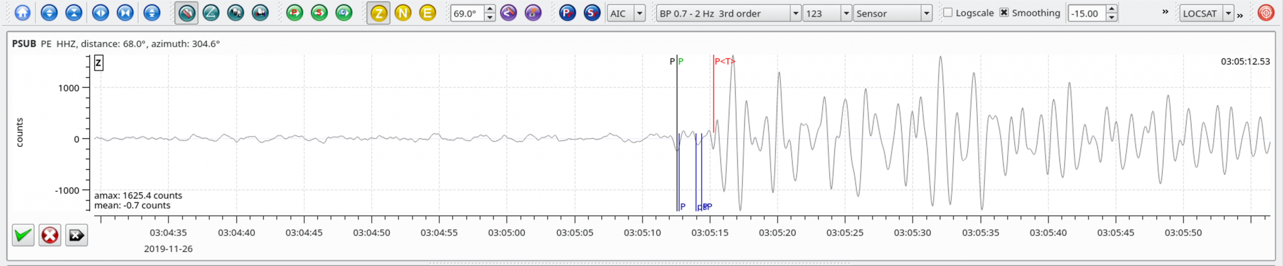
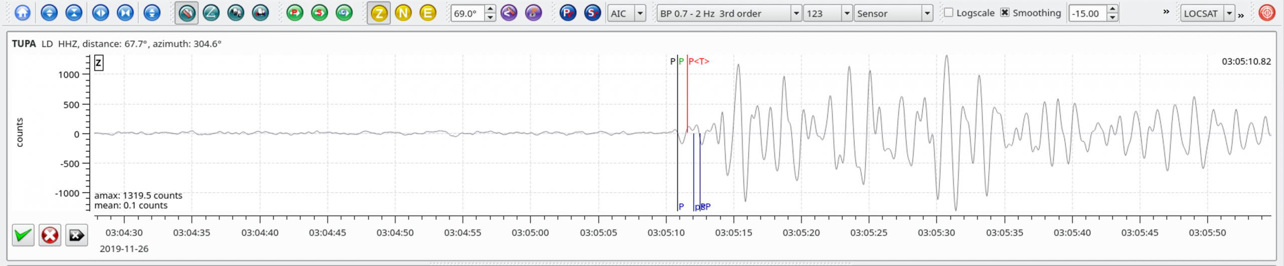
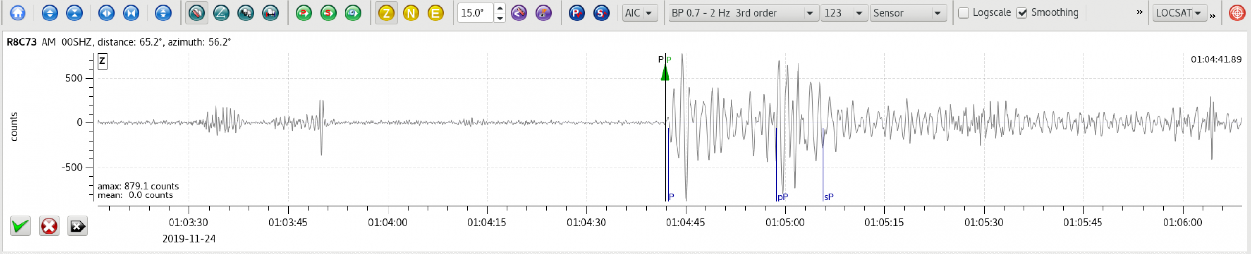
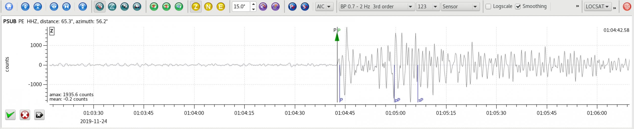
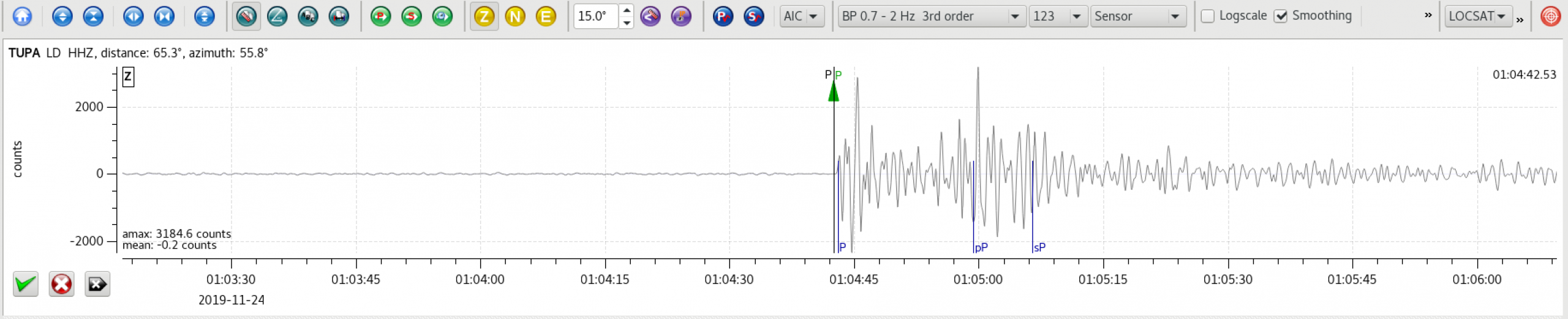
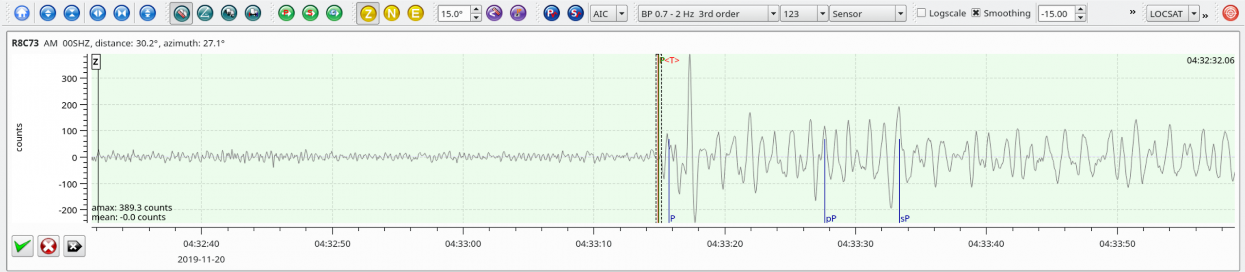
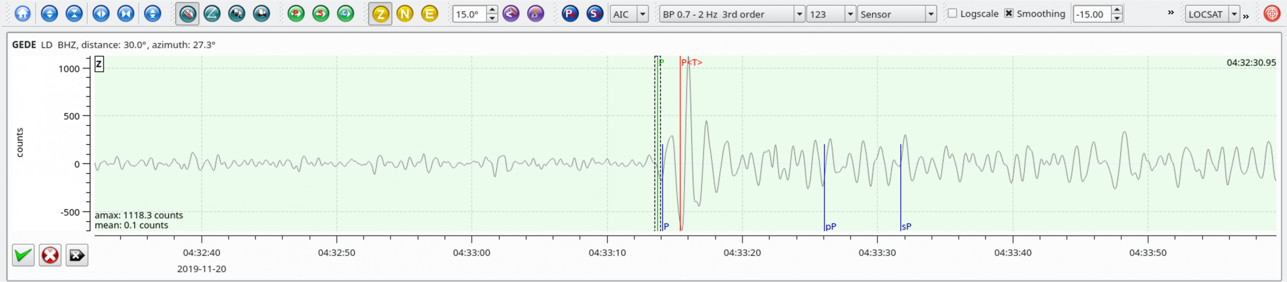
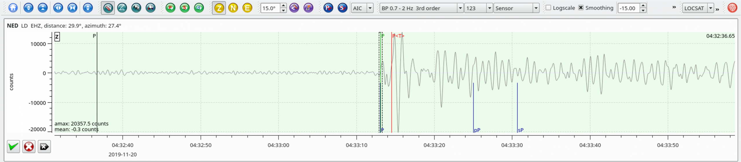
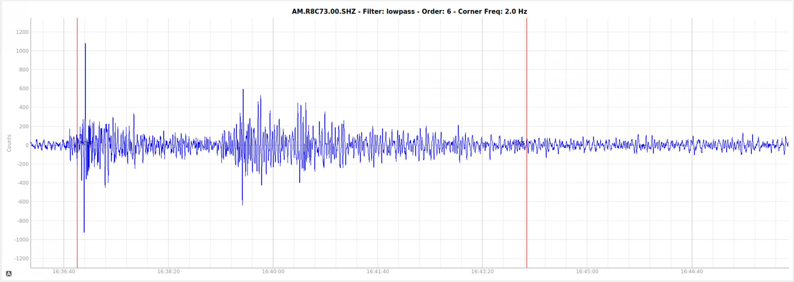
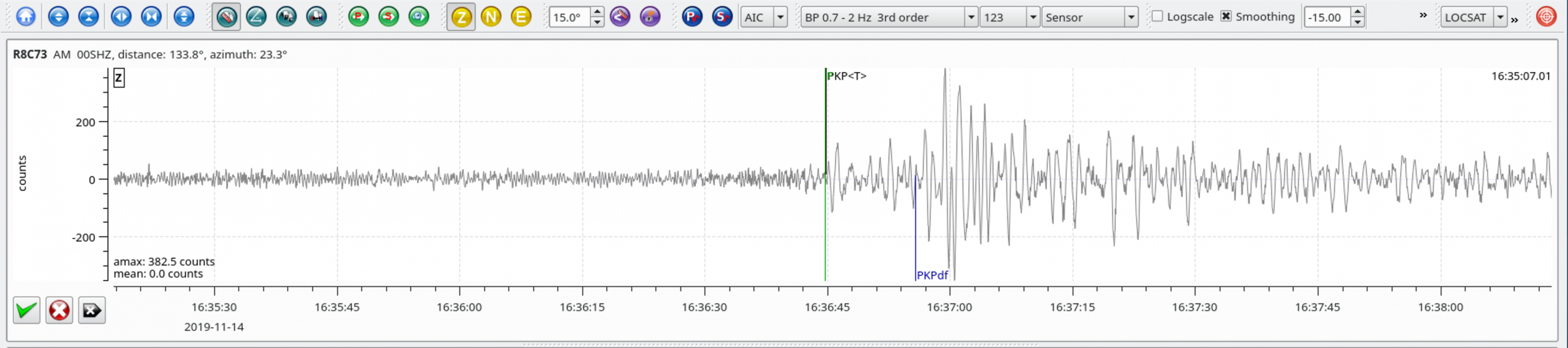
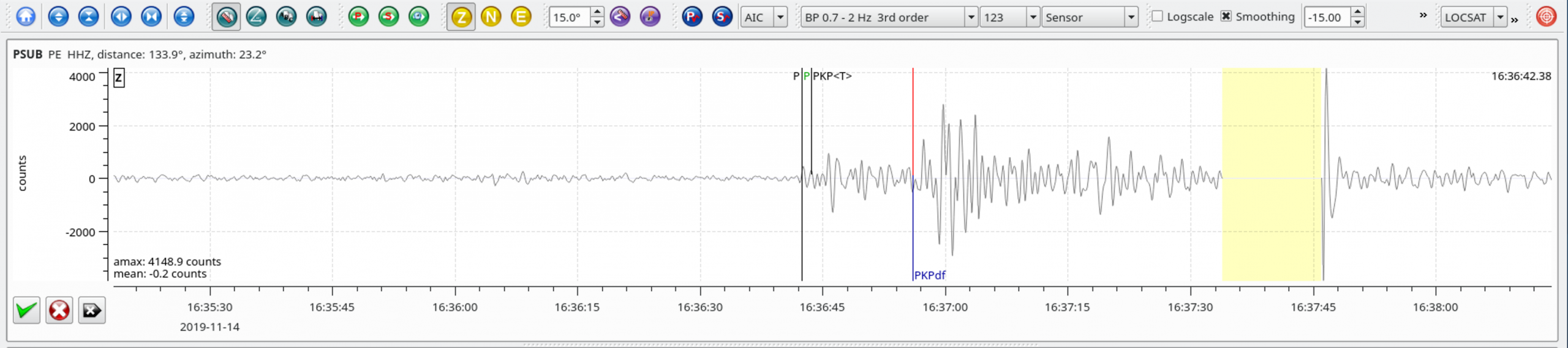
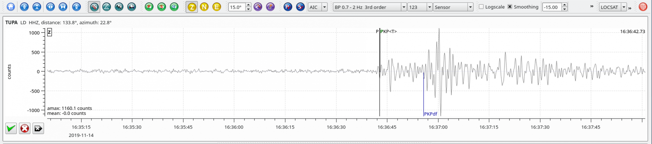
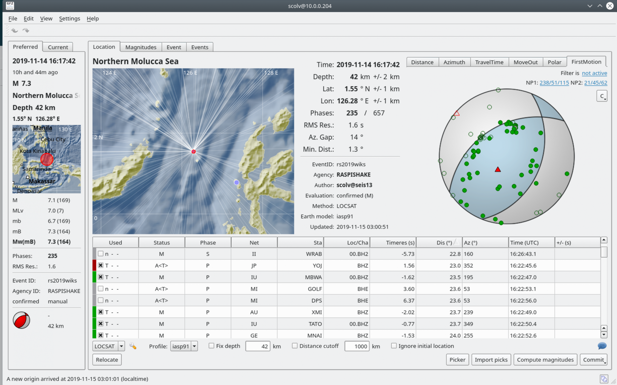
Local SeisComP3 P-wave Arrivals