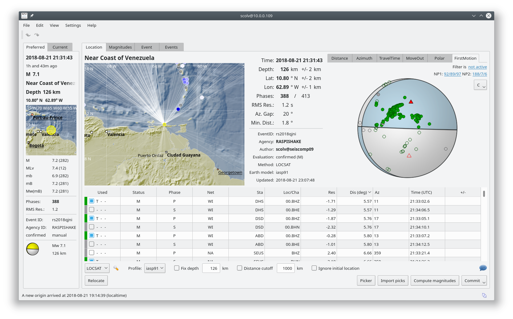
While this event had a magnitude of 7.3, and was felt throughout the eastern Caribbean, there was little major damage due to the 150km depth.
From the USGS Summary of this event:
While commonly plotted as points on maps, earthquakes of this size are more appropriately described as slip over a larger fault area. Oblique-thrust-faulting events of the size of the August 21st, 2018 earthquake are typically about 65×25 km (length x width).
Earthquakes like this event, with focal depths between 70 and 300 km, are commonly termed “intermediate-depth” earthquakes. Intermediate-depth earthquakes represent deformation within subducted lithosphere rather than at the shallow plate interfaces between subducting and overriding tectonic plates. They typically cause less damage on the ground surface above their foci than is the case with similar-magnitude shallow-focus earthquakes, but large intermediate-depth earthquakes may be felt at great distance from their epicenters. Earthquakes have been reliably located to depths close to 180 km in this region.
While there have been 17 previous M 6+ earthquakes in this region, large earthquakes are rare; this is the largest historic event within 250 km of this location in the 20th and 21st centuries. All prior damaging earthquakes in this region have been shallow.”
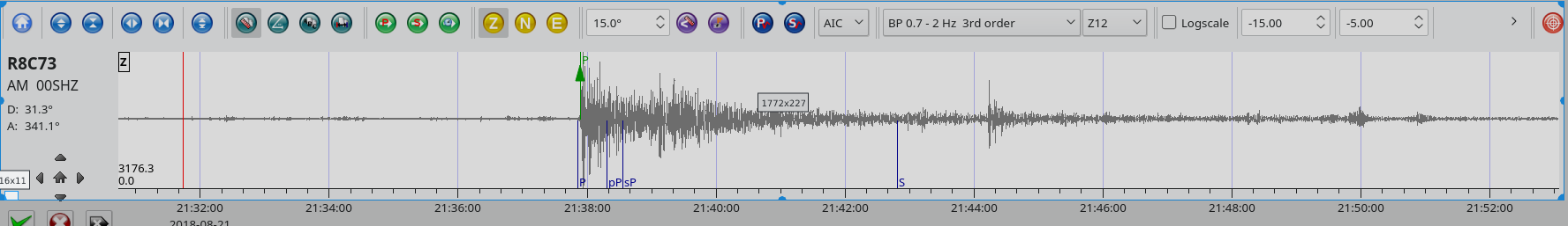
Distance: 31.3 Deg. 3453km
Azimuth: 341.1 Deg.